
Population 2,022 (2013 est) State electorate(s) Wagin Shire of Kojonup Broomehill-Tambellup Founded 1871 Mayor Jane Trethowan | Established 1871 Area 2,932 km² | |
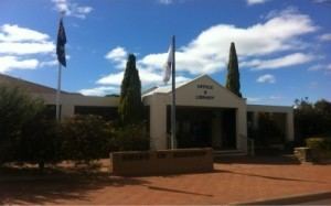 | ||
The Shire of Kojonup is a local government area in the Great Southern region of Western Australia, about 250 kilometres (155 mi) southeast of the state capital, Perth, along Albany Highway. The Shire covers an area of 2,932 square kilometres (1,132 sq mi) and its seat of government is the town of Kojonup.
Contents
Map of Kojonup, WA, Australia
History
The Kojonup Road District was created in 1871. On 1 July 1961, it became the Shire of Kojonup under the Local Government Act 1960.
Wards
The shire has no wards, and all councillors serve 4-year terms. Previously, it was divided into 5 wards:
(Note: The town of Ongerup, unrelated to the ward, is located within the Shire of Gnowangerup.)
Towns and localities
References
Shire of Kojonup Wikipedia(Text) CC BY-SA