Population 218 (2006 census) Postcode(s) 6394 Founded 1913 Postal code 6394 | Established 1913 State electorate(s) Wagin Local time Friday 2:30 AM | |
 | ||
Weather 22°C, Wind N at 10 km/h, 68% Humidity | ||
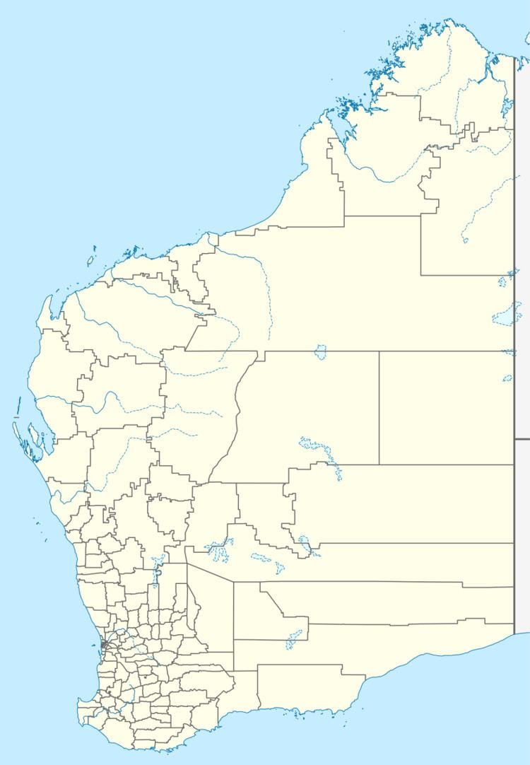
Boscabel is a town in the Great Southern region of Western Australia located not far from Kojonup.
Map of Boscabel WA 6394, Australia
The town was gazetted in 1913, following a suggestion to do so by the local progress association in 1912.
It is believed that the town is named after Boscobel House in Shropshire.
References
Boscabel, Western Australia Wikipedia(Text) CC BY-SA
