
Population 528 (2013 est) President Megan Tuffley Website Shire of Kent Area 5,634 km² | Established 1922 State electorate(s) Wagin Founded 1922 | |
 | ||
Council seat | ||
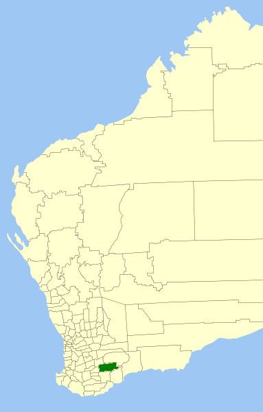
The Shire of Kent is a local government area in the Great Southern region of Western Australia, about 320 kilometres (200 mi) southeast of Perth, the state capital. The Shire covers an area of 5,634 square kilometres (2,175 sq mi) and its seat of government is the town of Nyabing. The area produces grains such as wheat, barley and legumes.
Contents
Map of Kent, WA, Australia
History
The Kent Road Board was formed and gazetted in 1922, and on 1 July 1961, it became a shire following changes to the Local Government Act. From 1955 until 1972, it was known as Nyabing-Pingrup.
The name "Kent" comes from the commissariat officer of Dr T. Wilson’s expedition of 1829.
Wards
Following a redistribution in 2002, the Shire has been divided into four wards, each with two councillors:
Towns
References
Shire of Kent Wikipedia(Text) CC BY-SA