
Population 276 (2006 census) Postcode(s) 6343 State electorate(s) Wagin Founded 1924 Local time Monday 1:14 PM | Established 1924 Elevation 295 m Postal code 6343 | |
 | ||
Location 361 km (224 mi) South East of Perth48 km (30 mi) South of Lake Grace65 km (40 mi) North West of Gnowangerup Weather 20°C, Wind E at 21 km/h, 36% Humidity | ||
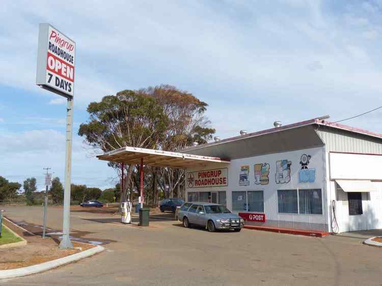
Pingrup is a small town in the Great Southern region of Western Australia.
Map of Pingrup WA 6343, Australia
The name of the town is Indigenous Australian in origin and was the name of a lake that is close to the townsite.The meaning of the word is unknown. The name first appeared on charts of the area in 1873.
The townsite came into being as a terminus of the Nyabing railway when it was extended into the area in 1923. The townsite was gazetted in 1924.
The surrounding areas produce wheat and other cereal crops. The town is a receival site for Cooperative Bulk Handling.
References
Pingrup, Western Australia Wikipedia(Text) CC BY-SA