
Population 1,085 (2013 est) President Moira Girando Area 4,194 km² | Established 1962 Founded 1962 | |
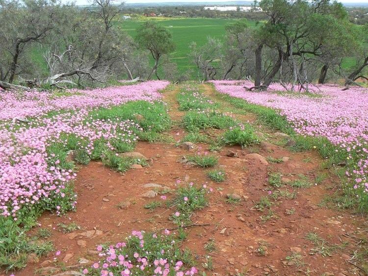 | ||
The Shire of Coorow is a local government area located in the Mid West region of Western Australia, about 290 kilometres (180 mi) north of Perth, the state capital, and about 130 kilometres (81 mi) south of the city of Geraldton. The Shire covers an area of 4,194 square kilometres (1,619 sq mi) and its seat of government is the town of Coorow, with the largest settlement being Leeman.
Contents
Map of Coorow, WA, Australia
History
Historically, the area was part of the Carnamah Road District. On 19 April 1962, the Shire of Coorow was created.
Wards
The Shire has eight councillors, elected at large. Wards were abolished in 2003.
Towns
References
Shire of Coorow Wikipedia(Text) CC BY-SA