
Population 128 (2006 census) Postcode(s) 6515 Elevation 324 m Postal code 6515 | Established 1927 Founded 1927 Local time Tuesday 9:54 AM | |
 | ||
Weather 23°C, Wind NE at 24 km/h, 45% Humidity | ||
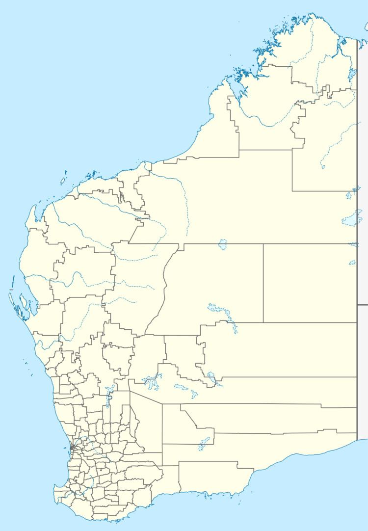
Marchagee is a small townsite located 243 km north of Perth in the Mid West region of Western Australia.
Map of Marchagee WA 6515, Australia
A reserve for travellers was kept aside in the area in 1876, and the name recorded by the surveyor was Marchagee Well. The name is Aboriginal but its meaning is unknown.
In 1899 the Midland Railway Company established a station at Marchagee.
Some large lots were surveyed for agricultural purposes in 1906, and the townsite was gazetted in 1927.
The surrounding areas produce wheat and other cereal crops. The town is a receival site for Cooperative Bulk Handling.
References
Marchagee, Western Australia Wikipedia(Text) CC BY-SA