
Population 377 (2010) Founded 1880 Mayor John Ferguson | Established 1880 Website Shire of Bulloo Area 73,808 km² | |
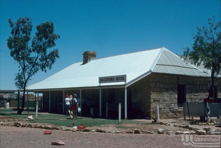 | ||
The Shire of Bulloo is a local government area in South West Queensland, Australia. Cameron Corner, the point where New South Wales, Queensland and South Australia, is located at the south west corner of the shire. The Bulloo Shire covers an area of 73,807.6 square kilometres (28,497.3 sq mi), and its administrative centre is the town of Thargomindah.
Contents
Map of Bulloo, QLD, Australia
Major industries in the shire include wool, beef, opals, oil and natural gas.
History
Paroo Division was established on 11 November 1879 as one of the original divisions proclaimed under the Divisional Boards Act 1879. On 3 June 1880, the western part of the Paroo Division was separated to create the Bulloo Division.
On 21 June 1883, the boundaries between Diamantina Division and Bulloo Division were adjusted.
With the passage of the Local Authorities Act 1902, Bulloo Division became the Shire of Bulloo on 31 March 1903.
On 17 July 1930 Shire of Bulloo was abolished and absorbed into Shire of Quilpie, but was re-instated on 4 July 1931.
Towns and localities
The Shire of Bulloo includes the following settlements: