
Population 1,738 (2013 est) State electorate(s) Blackwood-Stirling Founded 1896 Mayor Michael Giles | Established 1896 Area 2,829 km² | |
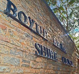 | ||
The Shire of Boyup Brook is a local government area located in the South West region of Western Australia, about 270 kilometres (168 mi) southeast of Perth, the state capital. The Shire covers an area of 2,829 square kilometres (1,092 sq mi) and its seat of government is the town of Boyup Brook.
Contents
Map of Boyup Brook, WA, Australia
History
In 1896, the Upper Blackwood Road District was gazetted. On 1 July 1961, it became a Shire under the new Local Government Act and on 30 May 1969 changed its name to Boyup Brook.
Wards
The shire has been divided into 4 wards.
Towns
References
Shire of Boyup Brook Wikipedia(Text) CC BY-SA