Established 1915 State electorate(s) Blackwood-Stirling Founded 1915 Local time Wednesday 7:24 AM | Postcode(s) 6244 Elevation 212 m Postal code 6244 | |
 | ||
Weather 17°C, Wind SE at 18 km/h, 84% Humidity | ||
Dinninup is a small town in the South West region of Western Australia. It is between Boyup Brook and Kojonup.
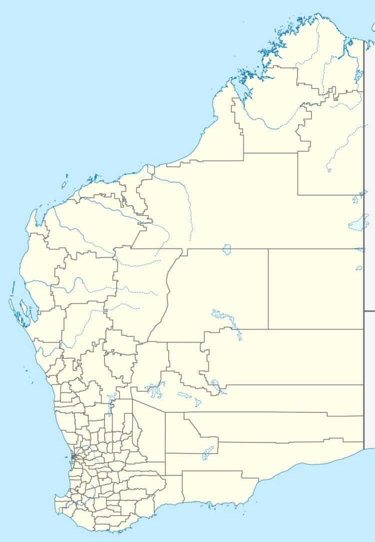
Map of Dinninup WA 6244, Australia
The town's name is Aboriginal in origin and is the name of a brook that is situated close to town. First recorded by surveyors in 1877, the meaning of the name is unknown. Originating as a railway station on the Boyup Brook to Kojonup line, early settlers had requested for land to be set aside for a townsite in 1906. The line was completed in 1910 and the Dinninup station was opened at the same time. The town was gazetted in 1915.
References
Dinninup, Western Australia Wikipedia(Text) CC BY-SA
