Country China | ||
 | ||
The Shijing River (Chinese: 石井江; pinyin: Shíjǐng Jiāng; Pe̍h-ōe-jī: Chio̍h-chéⁿ Kang) is a small river in Fujian Province of China. The tidal estuary it forms when entering the Weitou Bay of the Taiwan Strait is known as the Anhai Bay (Chinese: 安海湾). Most of the Shijing River's basin is within the Prefecture-level city of Quanzhou.
Contents
Map of Shijing River, Nan'an, Quanzhou, China
The lower course
The lower course of the Shijing River, and the Anhai Bay, form the border between Quanzhou's two county-level units: Nan'an City in the west and Jinjiang City in the east. The riverside towns on the west (Nan'an) bank are Shuitou and Shijing, and on the east (Jinjiang) bank, Anhai and Dongshi.
The famous Song-era Anping Bridge originally spanned the shallow Shijing estuary between Anhai and Shuitou. Over the intervening nine centuries, this part of the estuary has silted up, so that the bridge (now fully restored) is now in a lake of sorts, almost completely surrounded by dry land on all sides.
Anhai Bay
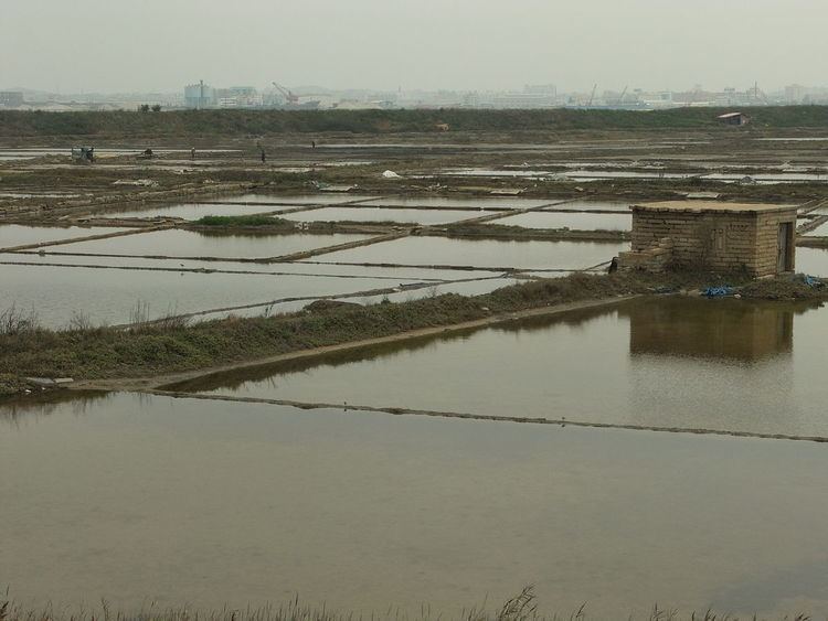
Further downstream, the Shijing River's estuary (the Anhai Bay) continues to exist. It is an important aquaculture area. As of ca. 2001, 138.5 hectares of the mudflats and water surface on the bay's western (Shuitou) side were used for aquaculture; this included 37.5 ha used for raising the blood cockles (Tegillarca granosa, 泥蚶), 58.3 ha used for the Chinese razor clam (Sinonovacula constricta, 缢蛏), 16.2 ha used for oyster farming, and 26.5 ha used for shrimp farming. Over 1400 people from Shuitou's Gangnei Village (巷内村) were employed in aquaculture and fishing.
