
Airport type Public Elevation AMSL 755 ft / 230 m 6,800 2,073 Code SBM Phone +1 920-467-2978 | 4/22 6,800 2,073 Concrete Elevation 230 m Serves Sheboygan Falls | |
 | ||
Address N6187 Resource Dr, Sheboygan Falls, WI 53085, USA Similar Burrows Aviation LLC, The American Club, Aviation Heritage Center of, AfterBurn On O, Sheboygan Police Departme | ||
Metlife blimp landing at sheboygan county memorial airport
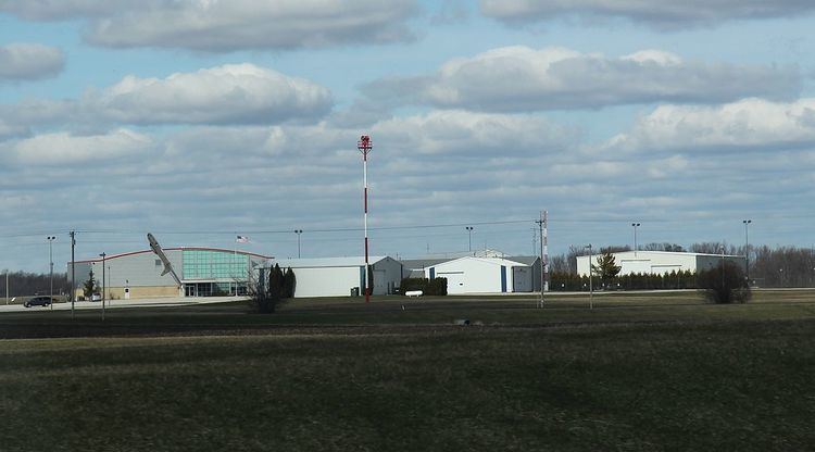
Sheboygan County Memorial Airport (IATA: SBM, ICAO: KSBM, FAA LID: SBM) is a county owned public use non-towered airport located in the Town of Sheboygan Falls, three nautical miles (6 km) northwest of the City of Sheboygan, in Sheboygan County, Wisconsin, United States. It is included in the Federal Aviation Administration (FAA) National Plan of Integrated Airport Systems for 2017–2021, in which it is categorized as a regional general aviation facility. Sheboygan's National Weather Service observation station is based at the airport.
Contents
There are 73 planes based at the airport, including the corporate planes of corporations such as Aero-metric, Kohler Company, Bemis Manufacturing Company, Plenco, and Richardson Bros. An expansion project was completed in 2010.
Sheboygan County Memorial also serves as a major link to local attractions such as Road America and the county's golf courses, such as Blackwolf Run and Whistling Straits.
Facilities and aircraft
Sheboygan County Memorial Airport covers an area of 737 acres (298 ha) at an elevation of 755 feet (230 m) above mean sea level. It has two runways: 4/22 is 6,800 by 100 feet (2,073 x 30 m) with a concrete surface and 13/31 is 5,002 by 75 feet (1,525 x 23 m) with an asphalt surface.
For the 12-month period ending July 8, 2014, the airport had 65,000 aircraft operations, an average of 178 per day: 91% general aviation, 8% air taxi and 1% military. In March 2017, there were 73 aircraft based at this airport: 51 single-engine, 12 multi-engine, 5 jet and 5 ultralight.