
- left Ware Creek - elevation 174 m (571 ft) - elevation −1 m (−3 ft) | - location near Ripponlea | |
 | ||
- right Carmichael Creek, Kangaroo Creek (Victoria) | ||
The Shaw River, a perennial river of the Glenelg Hopkins catchment, is located in the Western District of Victoria, Australia.
Contents
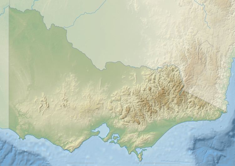
Map of Shaw River, Yambuk VIC, Australia
Course and featuresEdit
The Shaw River rises near Ripponlea and flows generally south, across a coastal plain, joined by three minor tributaries before reaching its confluence with the Eumeralla River in Lake Yambuk. The Eumeralla empties into Portland Bay in the Great Australian Bight south of Yambuk. The river descends 174 metres (571 ft) over its 51-kilometre (32 mi) course.
The river is traversed by the Great Ocean Road near its confluence with the Eumeralla River in Lake Yambuk, at the Yambuk Important Bird Area.
EtymologyEdit
It was named by Major Mitchell in 1836 after General Sir James Shaw Kennedy, a Peninsular War veteran.
References
Shaw River (Victoria) Wikipedia(Text) CC BY-SA