
Simplified Chinese 山东半岛 Hanyu Pinyin Traditional Chinese 膠東半島 | Traditional Chinese 山東半島 Simplified Chinese 胶东半岛 Hanyu Pinyin | |
 | ||
Similar Mount Lao, Zhifu Island, Liugong Island, Zhan Qiao, May Fourth Square | ||
The Shandong Peninsula is a peninsula in Shandong province in eastern China, between the Bohai Sea to the north and the Yellow Sea to the south.
Contents
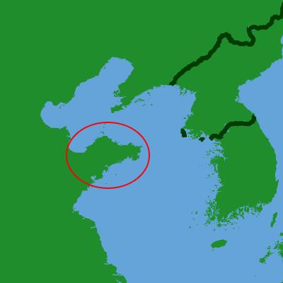
Map of Shandong Bandao, Haiyang, Yantai, China
Geography
The waters bordering the peninsula are Laizhou Bay to the northwest, which opens into the Bohai Sea to the north, which in turn passes through the Bohai Strait to the northeast into the Yellow Sea to the east and south.
The peninsula's territory comprises three prefecture-level cities of Shandong province: Qingdao in the southwest, Yantai in the north and centre, and Weihai at the eastern tip.
History
The Kiautschou Bay concession was a concession of the German Empire from 1898 to 1914 located around Jiaozhou Bay, where the village of Qingdao (Tsingtao) developed into a major seaport. As a consequence of the First World War, Germany lost Qingdao and its sphere of influence in Shandong. The Treaty of Versailles transferred the German concessions in Shandong to the Empire of Japan instead of restoring Chinese sovereignty over the area. Popular dissatisfaction with this outcome, referred to as the Shandong Problem, led to the May Fourth Movement. Shandong reverted to Chinese control in 1922 after mediation by the United States during the Washington Naval Conference. Weihai followed in 1930. However, Japan retained economic influence in the area.