
Chinese 渤海 Wade–Giles Po hai Romanization Poh hae Area 78,000 km² | Hanyu Pinyin IPA [pwǒ.xài] Yale Romanization Buht hói | |
 | ||
Chinese navy conducts live ammunition drill for aircraft carrier formation in the bohai sea
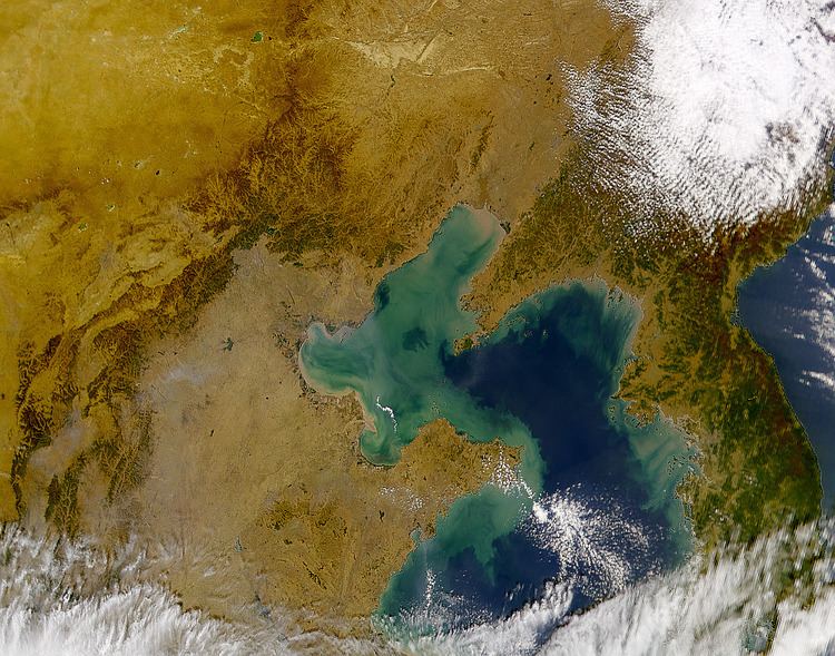
The Bohai Sea or Bo Sea, also known as Bohai Gulf or Bo Gulf (Chinese: 渤海; literally: "Bo Sea"), is the innermost gulf of the Yellow Sea and Korea Bay on the coast of Northeastern and North China. It is approximately 78,000 km2 (30,116 sq. mi) in area and its proximity to Beijing, the capital of China (PRC), makes it one of the busiest seaways in the world.
Contents
- Chinese navy conducts live ammunition drill for aircraft carrier formation in the bohai sea
- Map of Bohai Sea China
- Plan drafted for 36b tunnel beneath the bohai sea china beat feb 14 2014 bontv china
- History
- Geography
- Major ports
- Major cities along the Bohai Sea coast
- Tunnel crossing
- References
Map of Bohai Sea, China
Plan drafted for 36b tunnel beneath the bohai sea china beat feb 14 2014 bontv china
History
Until the early 20th century, Bo Hai was often called the Gulf of Chihli (Chinese: 直隸海灣; pinyin: Zhílì Hǎiwān) or the Gulf of Pechihli or Pechili (北直隸海灣; Běizhílì Hǎiwān). Zhili and Beizhili were historic provinces in the area surrounding Beijing.
Geography
The Bohai Sea is bounded by the Changshan Islands chain between the Liaodong and Shandong Peninsulas. It has become one of busiest sea routes in recent times. There are three major bays inside the Bohai Sea: Laizhou Bay to the south, Liaodong Bay to the north, and Bohai Bay to the west. At the easternmost end of the Bohai Sea, between the southernmost end of the Liaodong Peninsula and northernmost end of the Shandong Peninsula, is the Bohai Strait (渤海海峡). A few of the rivers entering the gulf include the Yellow, Hai, Liao, and Luan Rivers. There are a few important oil reserves in the vicinity of the gulf, including the Shengli Field. Important island groups or islands in the gulf include the Changshan Islands (长山列岛), Changxing Island (长兴岛), and Xizhong Island (西中岛). The PRC provincial-level divisions that have a Bohai Sea coastline are, from the south, going clockwise: Shandong, Hebei, Tianjin, Hebei again, and Liaoning.
Major ports
There are five major ports along the Bohai Sea rim, with throughputs over 100 million tons:
Caofeidian and Jingtang are usually treated as one port of statistical purposes. The ports of Dalian and Yantai are also traditionally considered part of the Bohai rim, even though strictly speaking they lie outside the limits of the sea. The Port of Longkou reached 70 million tons of cargo in 2013, and is expected to reach the 100 million ton landmark in the near future.
Major cities along the Bohai Sea coast
Tunnel crossing
In February 2011, the PRC announced that it would build a road and rail tunnel across the Bohai Strait to connect the Liaodong and Shandong peninsulas. When completed, the tunnel would be 106 kilometres (66 mi) long. This plan seems have been superseded as of July 2013, with a modified plan involving a 123-kilometre (76 mi) tunnel between Dalian, Liaoning and Yantai, Shandong.
The overall concept had its origins in a 1994 plan, which had been intended for completion by 2010 at a cost of $10 billion.