
Time zone EET (UTC+3) Population 811 (2004) | Local time Friday 3:46 PM | |
 | ||
Weather 17°C, Wind NW at 14 km/h, 48% Humidity | ||
Shamsin (Arabic: شمسين Shamsîn also spelled Shemsin, Shamsinn or Shimsan) is a village in central Syria, administratively part of the Homs Governorate, located south of Homs. Nearby localities include al-Qusayr to the west, Damina al-Sharqiya to the northwest, Shinshar to the north, Dardaghan to the southeast and Hisyah to the south. According to the Syrian Central Bureau of Statistics (CBS), Shamsin had a population of 811 in the 2004 census. Its inhabitants are predominantly Sunni Muslims.
Contents
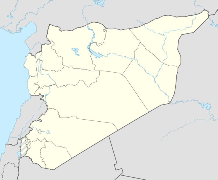
Map of Shamsin, Syria
History
In 1226, during Ayyubid rule, Syrian geographer Yaqut al-Hamawi visited Shamsin, noting it was "a place between Hims (Homs) and Kara." Under the Ayyubids and later the Mamluks who gained power in 1250, Shamsin was part of Mamlakat Hims ("Kingdom of Homs"), the smallest district in both sultanates.
In the mid-19th-century, Shamsin was described as "a small place" by German traveler Albert Socin. During this period, the village was walled and referred to as the site of an old khan (caravanserai). It was populated by a few families, while the surrounding areas were dominated by the nomadic `Anizzah tribe.