
Geocode SY0401 | Subdistricts 10 nawāḥī Area 7,759 km² | |
 | ||
Syria rebels start leaving homs district under truce deal
Homs District (Arabic: منطقة حمص, manṭiqat Ḥimṣ) is a district of the Homs Governorate in central Syria. Administrative centre is the city of Homs.
Contents
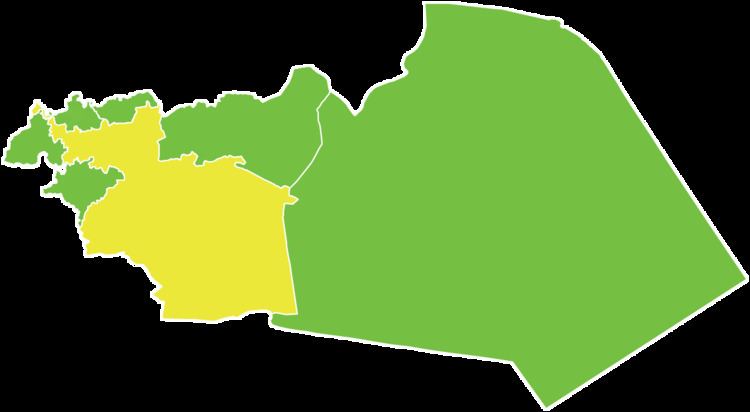
Map of Homs, Syria
The district was split in 2010, when three sub-districts were separated to form the new Taldou District. At the 2004 census, the remaining sub-districts had a total population of 945,299.
Sub-districts
The district of Homs is divided into ten sub-districts or nawāḥī (population as of 2004):
References
Homs District Wikipedia(Text) CC BY-SA