
University Orchards Academy | Area 370.3 km² | |
 | ||
Status Non-metropolitan district Points of interest Hever Castle, Emmetts Garden, Chartwell, Lullingstone Roman Villa, Ightham Mote Destinations | ||
Sevenoaks is a local government district in Kent, England, in the far west of the county. Its council is in the town of Sevenoaks.
Contents
- Map of Sevenoaks District UK
- Geography
- Council
- Town and parish councils
- Housing and architecture
- References
Map of Sevenoaks District, UK
The district was formed on 1 April 1974 by the merger of the Sevenoaks Urban District, Sevenoaks Rural District and part of Dartford Rural District and is one of thirteen districts in the geographic county of Kent, one of which has unitary authority status, Medway, which means it does not obtain services or projects from Kent County Council. The latter is responsible for highways, public paths, fire and rescue, certain aspects of health and social care and education/libraries. The rest of local government is mostly at district level although the area has civil parish councils also.
Geography
The area is approximately evenly divided between buildings and infrastructure on the one hand and woodland or agricultural fields on the other. It contains the upper valley of the River Darenth and some headwaters of the River Eden.
In terms of districts, it borders Dartford to the north, Gravesham to the northeast, Tonbridge and Malling to the east, briefly Tunbridge Wells to the southeast. It also borders two which, equal to it, do not have borough status, the Wealden district of East Sussex to the south and the Tandridge district of Surrey to the southwest. It borders the London Boroughs of Bromley and Bexley to the northwest.
In the 2011 Census, the district had a population of 114,893.
Council
The council consists of 54 elected councillors, representing fewer wards in the district.
In 2009 the Audit Commission named Sevenoaks District Council as one of the four best-run and most efficient councils in the country.
Town and parish councils
The third tier of government within the district consists of the following town and parish councils:
Housing and architecture
The layout of the district is dual-centred:
In all areas low-rise dominates: the incidence of flats exceeding two storeys is rare.
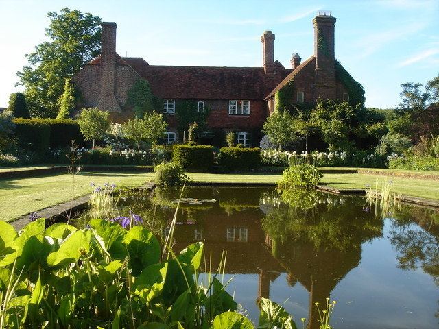
The number of listed buildings in the district exceeds 150. This includes 16 churches listed in the highest grading in the national listing system (Grade I). Castles and English country houses of the wealthiest in society from the 16th to 18th centuries form part of this district.
Examples at Grade I include Knole House, Chartwell, Penshurst Place and Chevening House, most of which have their own produce-selling farms. Older with original stone walls are Hever Castle with its 16 acres (6.5 ha)-wooded island in a listed parkland. A folly exists at Lullingstone Castle which is a reconstruction of its gatehouse and separate modern house.