
Sovereign state United Kingdom | Constituent country England Area 331.3 km² | |
 | ||
Status Non-metropolitan district Points of interest Dunorlan Park, The Pantiles, Groombridge Place, Scotney Castle, Sissinghurst Castle Garden Destinations Royal Tunbridg, Cranbrook, Sissinghurst, Benenden, Hawkhurst | ||
The Borough of Tunbridge Wells is a local government district and borough in Kent, England. It takes its name from its main town, Royal Tunbridge Wells.
Contents
- Map of Tunbridge Wells UK
- Location
- The North Weald area
- Weald Clay plain
- Communications
- Borough organisation
- Politics
- Places of interest
- References
Map of Tunbridge Wells, UK
The district was formed on 1 April 1974, by the merger of the municipal borough of Royal Tunbridge Wells along with Southborough urban district, Cranbrook Rural District and most of Tonbridge Rural District.
Location
The borough of Tunbridge Wells lies along the south western border of Kent, partly on the northern edge of the Weald, the remainder on the Weald Clay plain in the upper reaches of the rivers Teise and Beult.
The North Weald area
The restricted area immediately to the north and west of Tunbridge Wells lies within the Weald. The presence of sandstone outcrops and the chalybeate springs, together with old workings, point to ancient iron manufacturing in the area.
Weald Clay plain
This plain is part of the so-called Garden of England, named for its extensive orchards and former hop farms, sheep and cattle. A string of villages lies across this plain, from Brenchley and Horsmonden to Benenden and Headcorn.
Communications
Borough organisation
Tunbridge Wells Borough Council is composed of 48 councillors representing 20 wards across the borough. Eight wards are within Royal Tunbridge Wells itself including Broadwater, Culverden; Pantiles & St Marks; Park; Rusthall; Sherwood & St John's and St. James. The remainder are rural wards covering the other main towns and villages.
Each of the latter also have their own form of local government in the form of a civil parish. They are as follows, paired where two villages are served by one councillor:
Politics
Tunbridge Wells is and has almost always been from inception, a Conservative Westminster constituency. As of the elections in May 2014 the present political composition of the Council is:
In the 2016 European Union referendum, Tunbridge Wells was the only district in Kent that voted to remain in the EU (54.89%).
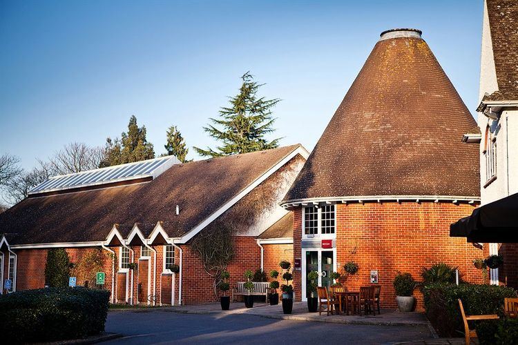
Places of interest
Apart from Tunbridge Wells itself, places of interest in the Borough include: