
Peak Kumiva Peak Country United States of America | Elevation 2,511 m | |
 | ||
Similar East Fork High Rock Canyon, Pine Forest Range, Black Rock Range, Jackson Mountains, High Rock Canyon Wilderness | ||
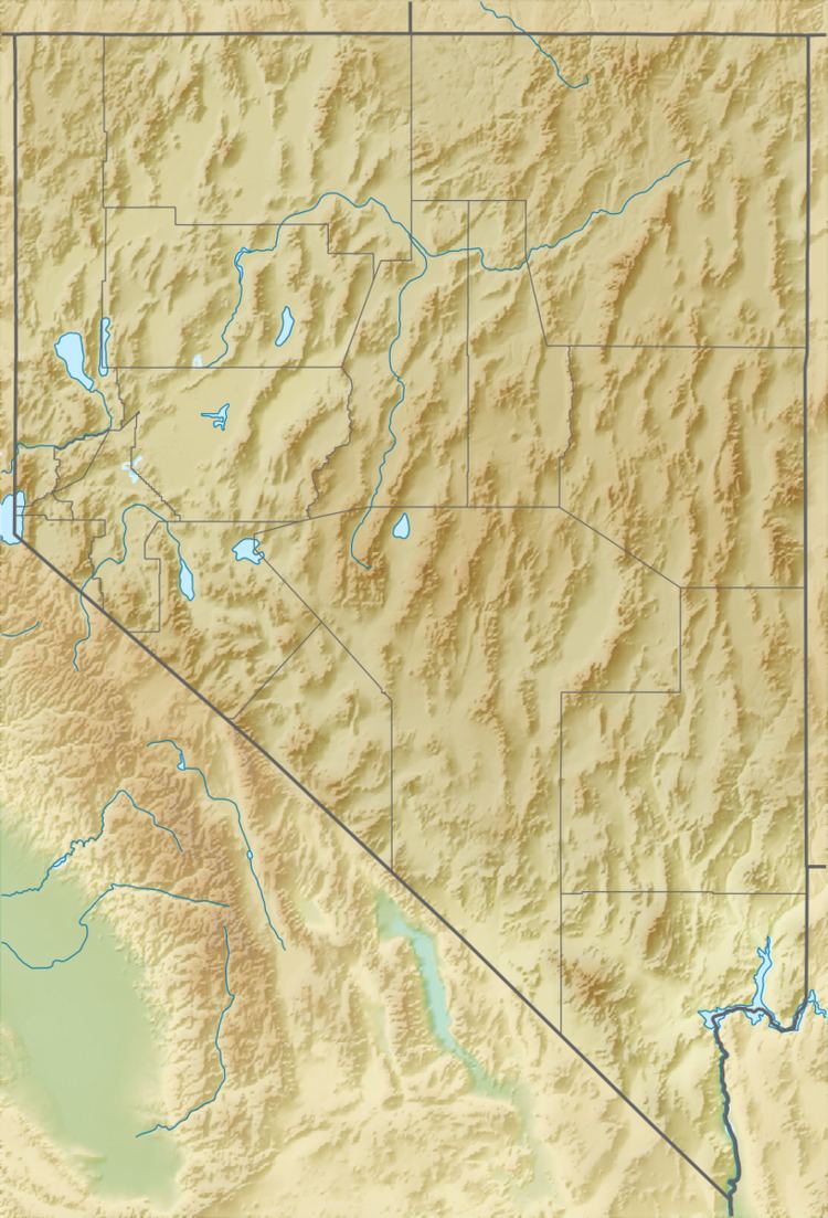
The Selenite Range is a mountain range in western Pershing County, Nevada. The range is a north–south trending feature approximately 27 miles (43 km) long and 4 miles (6.4 km) wide.
Map of Selenite Range, Nevada 89405, USA
The Fox Range lies to the west across the San Emidio Desert valley and the south end of the Black Rock Desert playa. Gerlach and Empire are two communities on the foothills and just to the northwest of the range. These communities supported the gypsum mines in the range during their active period. The large Empire gypsum quarry lies just west of Luxor Peak at 40° 30' N; 119° 18' W just 1.2 mi (1.9 km) northwest of Kumiva Peak.
Named Peaks in the range from north to south include: Selenite Peak, 7,115 ft (2,169 m); Luxor Peak, 7,420 ft (2,260 m); Kumiva Peak, 8,820 ft (2,690 m); Purgatory Peak, 7,417 ft (2,261 m); and Mt. Limbo, 7,312 ft (2,229 m).