
Elevation 3 m (10 ft) | Frazioni see list Demonym(s) Senigalliesi Local time Wednesday 5:15 PM | |
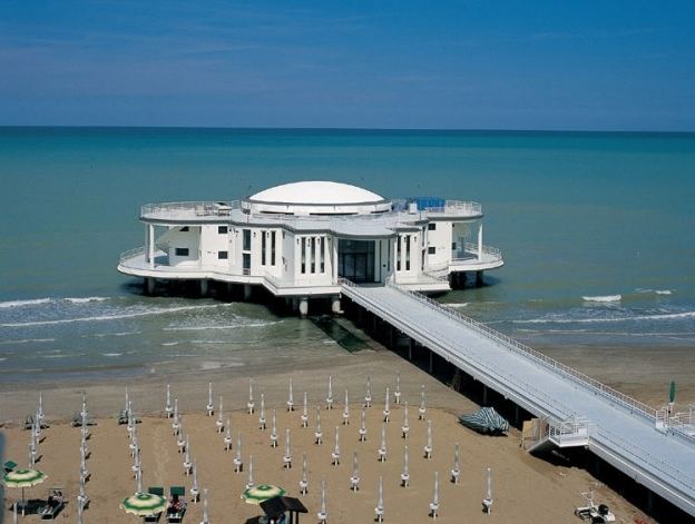 | ||
Weather 17°C, Wind N at 14 km/h, 51% Humidity Points of interest Rocca Roveresca Castle, Foro Annonario, Escape Room Escapeit, Summer Jamboree, Palazzo del Duca | ||
Senigallia (or Sinigaglia in Old Italian) is a comune and port town of the province of Ancona on Italy's Adriatic coast, in the Marche region. The small port is formed by the lower reaches of the Misa, a river which flows through the town between embankments constructed of Istrian marble.
Contents
- Map of 60019 Senigallia Province of Ancona Italy
- History
- Geography
- Frazioni
- Main sights
- Twinned cities
- References
Map of 60019 Senigallia, Province of Ancona, Italy
History
The settlement, spread out along the coast at the mouth of the river Misa, was established in the 4th century BC by the Gallic tribe of the Senones. The colony of Sena Gallica was founded there by the Romans after their victory over the Senones, rather before 280 BC. The Latin name is probably a corruption of "Senones"; the addition Gallica ("Gaulish") distinguishes it from Saena (Siena) in Etruria. The place is also mentioned in connection with Hasdrubal's defeat at the Metaurus in 207 BC. Ravaged by Alaric during the decline of the Roman Empire, Senigallia was fortified by the Byzantines, and again laid waste by the Lombards in the 8th century and by the Saracens in the 9th. It was the second easternmost of the five cities of the medieval Adriatic duchy of Pentapolis, east of Fano and west of Ancona.
Senigallia used to hold one of the largest fairs in Italy, which dated originally from 1200, when Sergius, count of Senigallia, received from the count of Marseilles, to whose daughter he was affianced, certain relics of Mary Magdalene; this fair used to be visited by merchants from Europe and the Levant.
In the 15th century it was the scene of the Guelph and Ghibelline wars, captured and recaptured again and again by the Malatesta and their opponents. Sigismondo Pandolfo Malatesta of Rimini erected strong fortifications round the town in 1450-1455. The lordship of Senigallia was bestowed by Pius II on his nephew Antonio Piccolomini, but the people of the town in 1464 placed themselves anew under Pope Paul II, and Giacomo Piccolomini in 1472 failed in his attempt to seize the place. In 1503, Cesare Borgia carried out a bloody coup at Senigallia, against some of his disloyal supporters. Sixtus IV assigned the lordship to the Della Rovere family, from whom it was transferred to Lorenzo II de Medici in 1516 by his uncle Pope Leo X. After 1624 it formed part of the Papal State's legation (province) of Urbino.
Geography
The municipality borders with Belvedere Ostrense, Mondolfo (PU), Monte San Vito, Montemarciano, Morro d'Alba, Ostra and Trecastelli.
Frazioni
Senigallia counts the hamlets (frazioni) of Bettolelle, Borgo Bicchia, Borgo Catena, Borgo Passera, Brugnetto, Cannella, Castellaro, Cesanella, Cesano, Ciarnin, Filetto, Gabriella, Grottino, Mandriola, Marzocca, Montignano, Roncitelli, Sant'Angelo, San Silvestro, Scapezzano and Vallone.
Main sights
Despite its ancient origin the city presents a modern appearance, with wide streets. Attractions include:
It must be said that nowadays it's still unknown the origin of this particular choice. Archeology has found no evidence about this issue, so far. Moreover, "In fondo al corso" and "In cima al corso" are not mentioned in any official document from the municipality of Senigallia. Nowadays this distinction is still handed down orally from generation to generation.
Other attractions are: