
 | ||
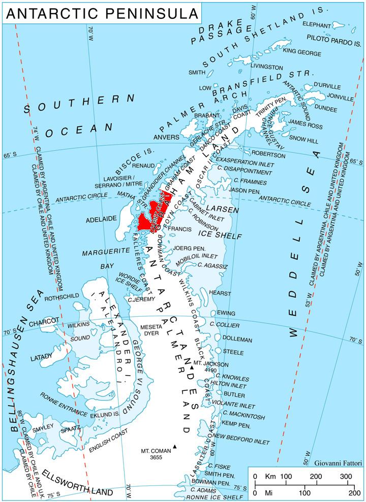
Semela Ridge (Bulgarian: рид Семела, ‘Rid Semela’ \'rid se-'me-la is the ice-covered ridge extending 8.5 km in east-west direction and 3.2 km wide, rising to 2000 m in the west foothills of Bruce Plateau on Loubet Coast in Graham Land, Antarctica. It has steep and partly ice-free south, west and north slopes, and surmounts Erskine Glacier to the south and west, and Byway Glacier to the north.
Contents
The ridge is named after the Thracian goddess Semela.
Location
Semela Ridge is located at 66°31′31″S 65°12′48″W, which is 18.7 km north of Bacharach Nunatak, 11.2 km east-northeast of Mount Bain, 5.8 km south of Aleksandrov Peak, 14.58 km south by west of Purmerul Peak and 10.8 km west of Slessor Peak. British mapping in 1976.
Maps
References
Semela Ridge Wikipedia(Text) CC BY-SA