
 | ||
Purmerul Peak (Bulgarian: връх Пурмерул, ‘Vrah Purmerul’ \'vr&h pur-me-'rul is the ice-covered peak rising to 2000 m in the west foothills of Bruce Plateau on Loubet Coast in Graham Land, Antarctica. It has steep and partly ice-free south and west slopes, and surmounts Hamblin Glacier to the southwest and Hugi Glacier to the north.
Contents
The peak is named after the Thracian god Purmerul.
Location
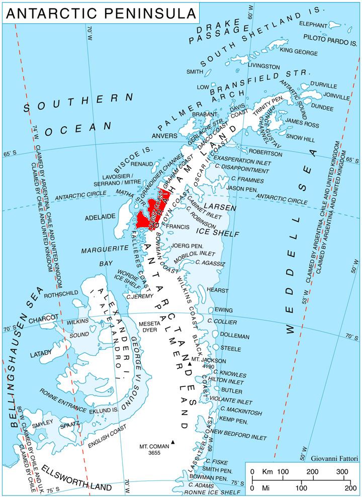
Purmerul Peak is located at 66°23′51″S 65°08′39″W, which is 14.58 km north by east of Semela Ridge, 11.1 km east of Mount Lyttleton, 20 km south-southeast of Crookes Peak and 16.11 km northwest of Slessor Peak. British mapping in 1976.
Maps
References
Purmerul Peak Wikipedia(Text) CC BY-SA