
History: Completed in 1998 Length 10.8 km | ||
 | ||
Regions: Woodlands, Yio Chu Kang Similar North–South Expressway (Singapore), East Coast Parkway, Pan Island Expressway | ||
The Seletar Expressway (Abbreviation: SLE) is a highway in Singapore that traverses the northern end of the island and joins the Central Expressway (CTE) and Tampines Expressway (TPE) in Seletar to the Bukit Timah Expressway (BKE) in Kranji.
Contents
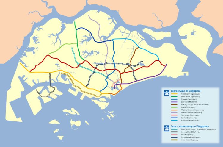
Map of SLE, Singapore
History
The first stage of the expressway started as a continuous road from the Central Expressway and ended at Upper Thomson Road. This stretch was opened on 24 March 1990. Later, it was extended from Upper Thomson Road to the BKE. It replaced various roads - Lorong Handalan, Lorong Lentor, Lorong Selangin and Lorong Hablor.
The SLE is a six-lane dual carriageway. The Upper Thomson Road - BKE extension was opened in two parts: from BKE to Woodlands Avenue 2 on 5 November 1995, and from Woodlands Avenue 2 to Upper Thomson Road on 22 February 1998. The last sector of this expressway which opened was the last completed expressway project in Singapore until the opening of a section of the Kallang–Paya Lebar Expressway on 28 October 2007.
It had the largest clearing of the roads in the history - Lorong Gambas, Jalan Ulu Sembawang, and some dirt tracks.