
Surface area 0.3 ha (0.74 acres) | Area 3,000 m² | |
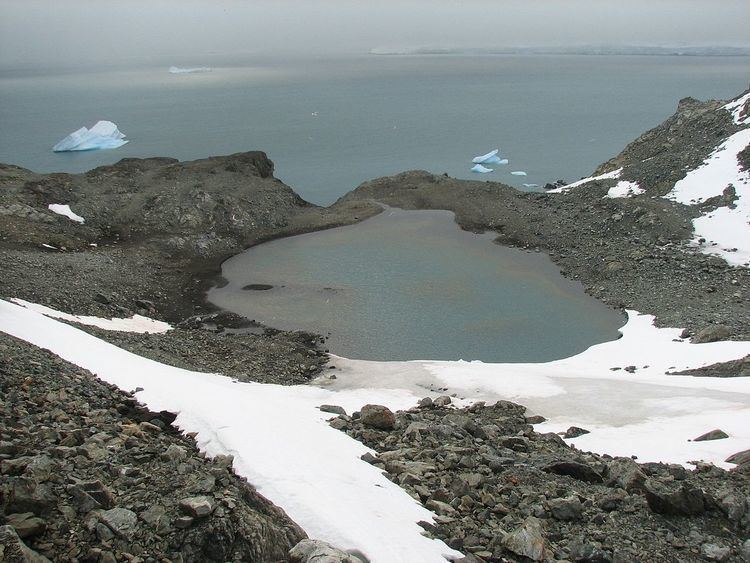 | ||
Sea Lion Tarn (Ezero Morski Lav \'e-ze-ro 'mor-ski 'l&v) is a freshwater tarn with an area of 0.3 ha (0.74 acres) located between Sea Lion Glacier and the north-western slopes of Atlantic Club Ridge on Hurd Peninsula in eastern Livingston Island in the South Shetland Islands, Antarctica. The lake drains westward through a 100 m creek into South Bay.
Contents
Map of Sea Lion Tarn, Antarctica
The feature takes its name from the adjacent Sea Lion Glacier.
Location
The midpoint is located at 62°38′48″S 60°22′14″W (Bulgarian mapping from a 1995-1996 ground survey).
Maps
References
Sea Lion Tarn Wikipedia(Text) CC BY-SA