
GNIS feature ID 0468667 Area 108.4 km² Population 223 (2000) | Time zone CST (UTC-6) Elevation 326 m Local time Saturday 12:08 AM | |
 | ||
ZIP codes 50433, 50468, 50636, 50653 Weather 4°C, Wind NE at 23 km/h, 94% Humidity | ||
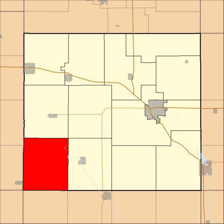
Scott Township is one of twelve townships in Floyd County, Iowa, USA. As of the 2000 census, its population was 223.
Contents
- Map of Scott IA USA
- Geography
- Adjacent townships
- Airports and landing strips
- Rivers
- School districts
- Political districts
- References
Map of Scott, IA, USA
Geography
According to the United States Census Bureau, Scott Township covers an area of 41.86 square miles (108.42 square kilometers); of this, 41.81 square miles (108.3 square kilometers, 99.89 percent) is land and 0.05 square miles (0.12 square kilometers, 0.11 percent) is water.
Adjacent townships
Airports and landing strips
Rivers
School districts
Political districts
References
Scott Township, Floyd County, Iowa Wikipedia(Text) CC BY-SA