
ZIP codes 50458, 50468, 50471 Elevation 312 m Local time Monday 10:38 PM | Time zone CST (UTC-6) GNIS feature ID 0468633 Area 109.9 km² Population 1,331 (2000) | |
 | ||
Weather 4°C, Wind NW at 14 km/h, 72% Humidity | ||
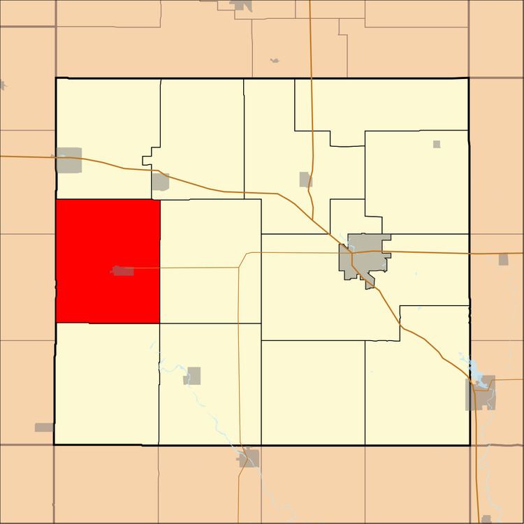
Rockford Township is one of twelve townships in Floyd County, Iowa, USA. As of the 2000 census, its population was 1,331.
Contents
- Map of Rockford IA USA
- Geography
- Cities towns villages
- Adjacent townships
- Cemeteries
- Major highways
- School districts
- Political districts
- References
Map of Rockford, IA, USA
Geography
According to the United States Census Bureau, Rockford Township covers an area of 42.43 square miles (109.89 square kilometers).
Cities, towns, villages
Adjacent townships
Cemeteries
The township contains Riverside Cemetery.
Major highways
School districts
Political districts
References
Rockford Township, Floyd County, Iowa Wikipedia(Text) CC BY-SA