
Country United States GNIS feature ID 0468977 Area 94.92 km² Population 143 (2010) | Time zone CST (UTC-6) Elevation 317 m Local time Friday 6:06 PM | |
 | ||
ZIP codes 50433, 50441, 50475, 50605 Weather 6°C, Wind N at 14 km/h, 78% Humidity | ||
West Fork Township is one of sixteen townships in Franklin County, Iowa, United States. As of the 2010 census, its population was 143 and it contained 77 housing units.
Contents
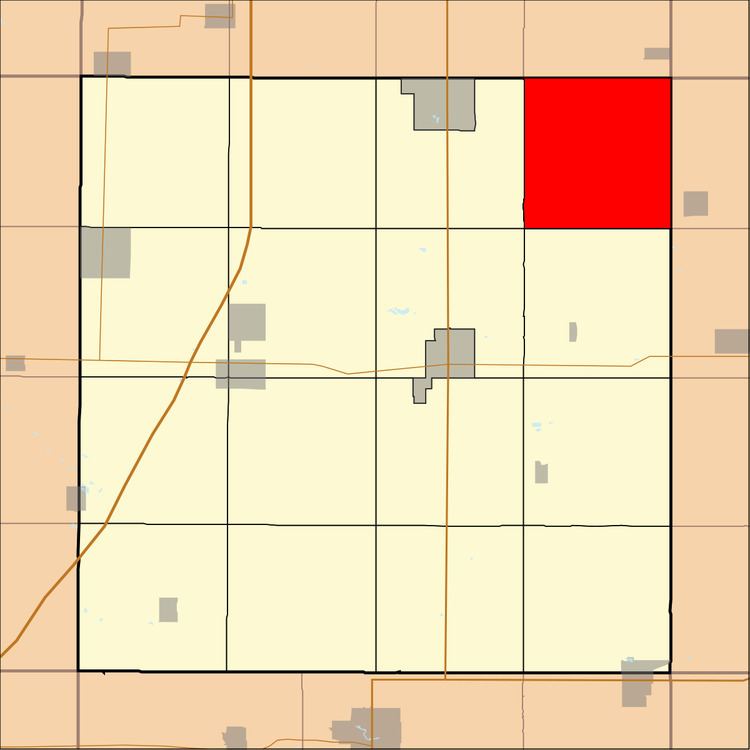
Map of West Fork, IA, USA
History
West Fork Township was created in 1868. It is named from the west fork of the Cedar River.
Geography
As of the 2010 census, West Fork Township covered an area of 36.65 square miles (94.9 km2), all land.
Cemeteries
The township contains West Fork Cemetery.
School districts
Political districts
References
West Fork Township, Franklin County, Iowa Wikipedia(Text) CC BY-SA