
Vehicle registration RO Area 27 km² Population 652 (1 Apr 2009) Area code 07280 | Time zone CET (UTC+1) Elevation 756 m Local time Friday 5:01 PM Postal code 4164 | |
 | ||
Website www.schwarzenberg.co.at Weather 7°C, Wind NE at 11 km/h, 76% Humidity | ||
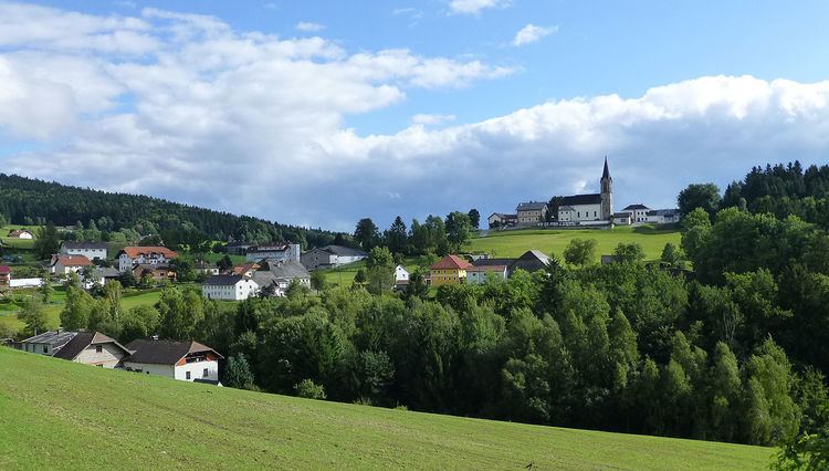
Schwarzenberg am Böhmerwald is a municipality in the district of Rohrbach in the Austrian state of Upper Austria.
Contents
Map of 4164 Schwarzenberg am B%C3%B6hmerwald, Austria
Geography
Schwarzenberg lies in the upper Mühlviertel on the border with Bavaria. About 71 percent of the municipality is forest, and 26 percent is farmland.
References
Schwarzenberg am Böhmerwald Wikipedia(Text) CC BY-SA