
Population 688 (2011) Civil parish Saxlingham Nethergate Area 8.55 km² | OS grid reference TM229973 Sovereign state United Kingdom Local time Thursday 4:00 PM | |
 | ||
Weather 9°C, Wind NE at 31 km/h, 68% Humidity | ||
Saxlingham Nethergate is a village and civil parish in Norfolk, England, about 9.5 miles (15 km) south of Norwich.
Contents
Map of Saxlingham Nethergate, UK
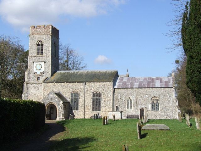
The civil parish has an area of 3.3 square miles (8.5 km2) and the 2001 Census recorded a population of 676 in 276 households, the population increasing to 688 at the 2011 Census. For the purposes of local government, the parish falls within the district of South Norfolk. The Church of England parish church of St. Mary is Decorated Gothic, with a chancel, nave and square west tower with a ring of eight bells. In 1867 the church was thoroughly restored, the nave enlarged, a vestry added and a stained glass window inserted in the tower: several of the other windows are stained glass.
Recreation
The local cricket team plays in the Norfolk Alliance league.