
Time zone CET (UTC+1) Area 26.9 km² Population 746 (1999) | INSEE/Postal code 24526 /24270 Local time Thursday 2:04 PM | |
 | ||
Weather 5°C, Wind S at 11 km/h, 87% Humidity | ||
Savignac-Lédrier is a commune in the Dordogne department of Nouvelle-Aquitaine in southwestern France.
Contents
Map of 24270 Savignac-L%C3%A9drier, France
Geography
The commune is situated by the Auvézère river, and is surrounded by other communes including Saint-Cyr-les-Champagnes, Saint-Mesmin, Lanouaille and Payzac. The principal town (La Chapelle) and two villages (La Garanne and La Croix-Merle) are close to the town of Payzac. The town halls of Savignac-Lédrier and Payzac are only 700 m apart.
History
At the creation of the departments in 1790, the commune became a part of the Corrèze département. Three years later in 1793, it was attached to the Dordogne département.
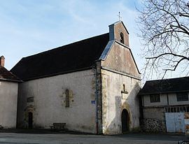
Sights
References
Savignac-Lédrier Wikipedia(Text) CC BY-SA