
Time zone IST (UTC+5:30) Elevation 252 m Population 74,520 (2011) | Block Satgawan PIN 825132 Area 303.9 km² Area code 06556 | |
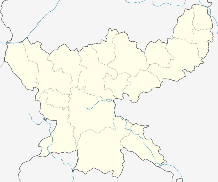 | ||
Satgawan is a community development block that forms an administrative division of Koderma district, Jharkhand state, India.
Contents
Overview
Koderma district occupies the northern end of the Chota Nagpur Plateau. The average altitude is 397 m above sea level. The topography is hilly and the area mostly has laterite soil with patches of clay. Although the net area sown is around 13% of the total area, Monsoon dependent agriculture supports majority of the population. Forest area covers 43% of the total area. Koderma Reserve Forest occupies the northern part of the district. Density of population in the district was 282 persons per sq km. Koderma district was once famous for its mica production but low quality of mica ore and high cost of production led to closure of many units. Only two units still survive. Around 40-50% of the families are below poverty line. Based on the number of households in 2011 census and BPL revision survey of 2010-11, the percentage of BPL families in the rural areas is 64.22%.
Rivers
The Sakri River flows in the eastern of the Satgawan. The Sakri river is the main river in the northern part of the Koderma district. Ghggnna Naddi, Chhotanari Nadi And Tamoriya are the tributaries of Sakri river.
Location
Satgawan is located at 24°44′40″N 85°46′35″E. It has an average elevation of 252 metres (827 ft).
Satgawan CD Block is bounded by Kawakol CD Block of Nawada district of Bihar in the north, Gawan Block of Giridih district in the east, Domchanch CD Block in the south and Gobindpur CD Block of Nawada district in the west.
It is located 59 km from district headquarter Koderma.
Area and administration
Satgawan CD Block has an area of 303.86 km2. The block has 144 villages.
Gram Panchayats
Gram Panchayats in Satgawan CD Block are: Nawadih, Tehro, Ambabad, Basodih, Itai, Kataiya, Khuntta, Khothiyar, Madhopur, Murchoi, Mirganj, Rajabar, Samaldih and Shivpur .
Population
As per the 2011 Census of India Satgawan CD Block had a total population of 74,520, all of which were rural. There were 38,183 (51%) males and 36,337 (49%) females. Population below 6 years was 13,904. Scheduled Castes numbered 16,787 (22.53%) and Scheduled Tribes numbered 383 (0.51%).
Literacy
As per the 2011 census the total number of literates in Satgawan CD Block was 35,006 (57.76% of the population over 6 years) out of which males numbered 22,076 (70.05% of the male population over 6 years) and females numbered 12,930 (43.85% of the female population over 6 years). The gender disparity (the difference between female and male literacy rates) was 27.10%.
As per 2011 census, literacy in Koderma district was 66.84%, up from 52.20% in 2001. Literacy in Jharkhand (for population over 7 years) was 66.41% in 2011. Literacy in India in 2011 was 74.04%.
Language
Hindi is the local language in the Satgawan area.
School Near Satgawan
National Public School