
 | ||
Sarkal Kassar(سرکال کسر) is located in Chakwal District, Punjab, Pakistan.
Contents
Map of Sarkal Kasar, Pakistan
Geography
Sarkal kassar is a village of around seven thousand population, located at 33°8'52.9"N 72°54'16.8"E [1] right on the north-eastern boundary of Chakwal District at the intersection of three police service areas. (i.e. P.S Dhudial of Chakwal and P.S Chauntra and Jatli of Rawalpindi)
History
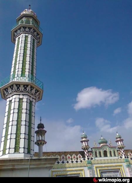
In 997 CE, Sultan Mahmud Ghaznavi, took over the Ghaznavid dynasty empire established by his father, Sultan Sebuktegin, In 1005 he conquered the Shahis in Kabul in 1005, and followed it by the conquests of Punjab region. The Delhi Sultanate and later Mughal Empire ruled the region. The Punjab region became predominantly Muslim due to missionary Sufi saints whose dargahs dot the landscape of Punjab region. Sarkal Kassar is one of the oldest villages of Chakwal District. It was densely populated with Muslims and minority of Hindus and Sikhs. The predominantly Muslim population supported Muslim League and Pakistan Movement. After the independence of Pakistan in 1947, the minority Hindus and Sikhs migrated to India while the Muslims refugees from India settled down in the Chakwal District.
Awans اعوان
Awans اعوان comprise above 80% of the population are the village's most prominent tribes. They are further sub-divided into four Clans, i.e.:
Other important tribes are:
Jhoor جھور Musalli مصلی
Etc.