
Airport type Public 5/23 4,699 Elevation 132 m | Elevation AMSL 433 ft / 132 m 4,699 1,432 | |
 | ||
Website | ||
Wheels up king air departs saratoga county airport 5b2
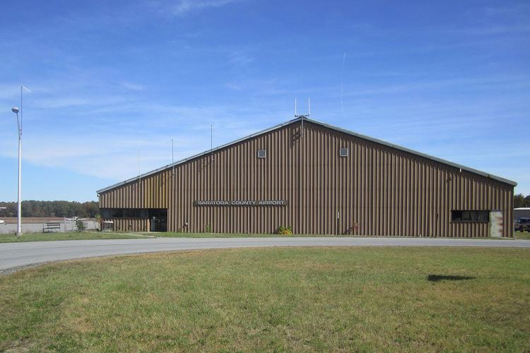
Saratoga County Airport (FAA LID: 5B2) is a county owned, public use airport located three nautical miles (6 km) southwest of the central business district of Saratoga Springs, a city in Saratoga County, New York, United States. It is included in the National Plan of Integrated Airport Systems for 2011–2015, which categorized it as a general aviation facility.
Contents
- Wheels up king air departs saratoga county airport 5b2
- Glider crashes at saratoga county airport
- Facilities and aircraft
- Nearby airports
- References
Glider crashes at saratoga county airport
Facilities and aircraft
Saratoga County Airport covers an area of 300 acres (121 ha) at an elevation of 433 feet (132 m) above mean sea level. It has two runways with asphalt and concrete surfaces: 5/23 is 4,699 by 100 feet (1,432 x 30 m); 14/32 is 4,000 by 100 feet (1,219 x 30 m). Jet aircraft use runways 5 or 23.
For the 12-month period ending August 29, 2008, the airport had 38,550 aircraft operations, an average of 105 per day: 96% general aviation, 4% air taxi, and <1% military. At that time there were 62 aircraft based at this airport: 63% single-engine, 26% glider, 8% multi-engine, 2% jet, and 2% helicopter.
Nearby airports
Nearby airports with instrument approach procedures include:
Other nearby facilities: