
PIN 814149 (Sarath) Elevation 208 m Area code 06438 | Time zone IST (UTC+5:30) Telephone/STD code 06438 Population 169,238 (2011) | |
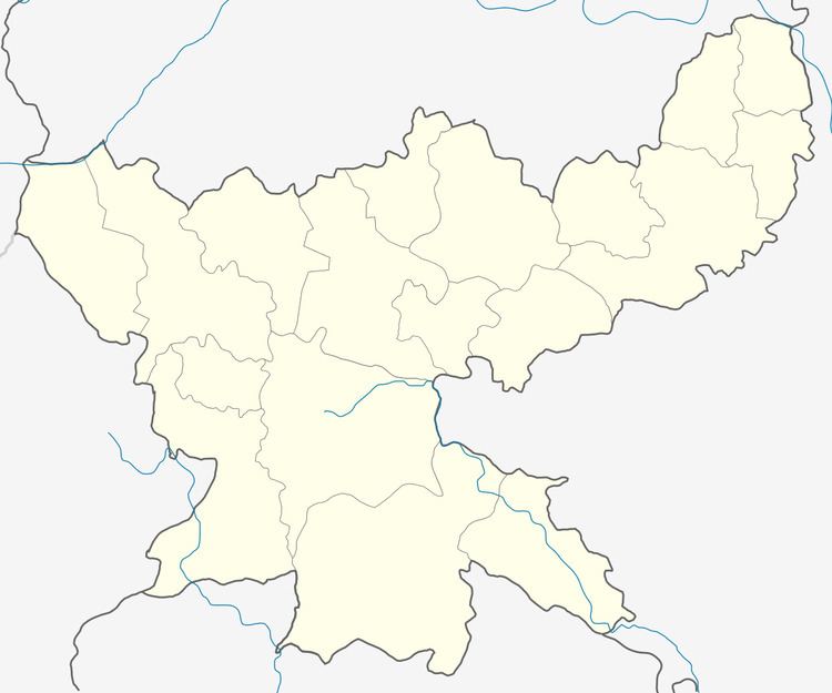 | ||
Sarath is a community development block that forms an administrative division in Deoghar district, Jharkhand state, India. It is located 37 km from Deoghar, the district headquarters.
Contents
Map of Sarath, Jharkhand 814149
Geography
Sarath, the eponymous CD Block headquarters, is located at 24°14′12″N 86°50′16″E.
Gram panchayats
Gram panchayats in Sarath CD Block are: Aluwara, Arajori, Asanbani, Bagdabra. Barbad, Basahatand, Bhabhangama, Bochbandh, Chitra, Dindakoli, Dumdumi, Fulchua, Jamuasol, Jhiluwa, Karobank, Kechuwabank, Kukraha, Lagwan, Manjhladih, Nawada, Palma, Pathardda, Sabejore, Sagharia, Sarath, Simla and Thadih.
Demographics
As per 2011 Census of India Sarath CD Block had a total population of 169,238, all of which were rural. There were 87,698 (52 %) males and 81,540 (48 %) females. Population below 6 years was 29,953. Scheduled Castes numbered 25,366 and Scheduled Tribes numbered 23,186.
Sarath is a village with a population of 5,692 as per 2011 census.
Literacy
As of 2011 census, the total number of literates in Sarath CD Block was 87,236 (62.63 % of the population over 6 years) out of which 54,817 (63 %) were males and 32,419 (37 %) were females.
As of 2011 census, literacy in Deoghar district was 64.85.Literacy in Jharkhand (for population over 7 years) was 66.41% in 2011. Literacy in India in 2011 was 74.04%.