
Language spoken Hindi State Jharkhand | ||
 | ||
Map of Deoghar
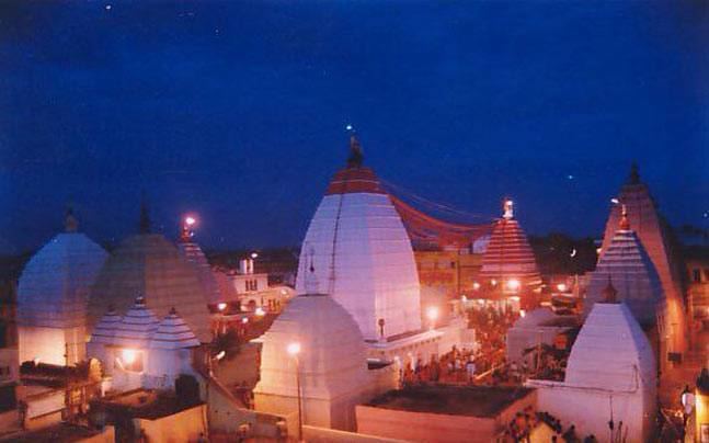
Deoghar is the head quarters of the Deoghar District in the Santhal Parganas division of the state of Jharkhand, India. The famed Baidyanath Temple is located here.
Contents
Bhatkally food on ndtv
Geography
Deoghar is located at 24.48°N 86.7°E / 24.48; 86.7. It has an average elevation of 254 metres (833 feet).
Universities and colleges
Schools
Demographics
As of 2011 India census, Deoghar has a population of 203,116 and 17.62% of the population is under 6 years of age.
References
Deoghar Wikipedia(Text) CC BY-SA