
Elevation 409 m (1,342 ft) Area 1,202 km² | Time zone BRT/BRST (UTC-3/-2) | |
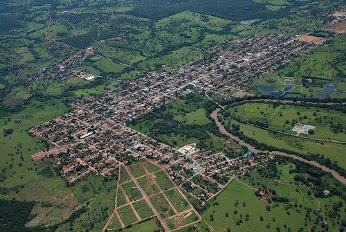 | ||
Santa Terezinha de Goiás is a municipality in north Goiás state, Brazil. Santa Terezinha is sometimes written as "Santa Teresinha".
Contents
- Map of Santa Terezinha de GoiC3A1s State of GoiC3A1s Brazil
- Location
- Political Information
- Demographics
- The economy
- Education 2006
- Health 2007
- References
Map of Santa Terezinha de Goi%C3%A1s - State of Goi%C3%A1s, Brazil
Location
Santa Terezinha is in the extreme north of the state, 174 km. southwest of Porangatu. It is 66 km. west of the important BR-153 highway.
Highway connections from Goiânia are made by GO-080 / Nerópolis / São Francisco de Goiás / BR-153 / Jaraguá / Rianápolis / Rialma / GO-336 / Itapaci / GO-154 / Pilar de Goiás.
Santa Terezinha de Goiás is bordered by the following municipalities:
Political Information
Demographics
The economy
The economy is based on modest agriculture, cattle raising, services, public administration, and small transformation industries.
Agricultural Data (2006)
Education (2006)
Health (2007)
Municipal Human Development Index
Seplan Economic Development Index The ranking was 168 out of 246 municipalities. See Seplan
Seplan Social Development Index The ranking was 101 out of 246 municipalities. See Seplan