
Time zone BRT/BRST (UTC-3/-2) | Elevation 753 m (2,470 ft) Postal code 76370-000 | |
 | ||
Pilar de Goiás is a municipality in north-central Goiás state, Brazil.
Contents
- Map of Pilar de GoiC3A1s State of GoiC3A1s Brazil
- Location
- Political and Demographic Information
- Economic Educational and Health Information
- Health and education
- History
- References
Map of Pilar de Goi%C3%A1s - State of Goi%C3%A1s, Brazil
Location
Pilar is located 252 kilometers north of the state capital, Goiânia in the Ceres Microregion. It is connected to the south of the state, with its main urban centers, by highway BR-153. Highway connections from Goiânia are made by GO-080 / Nerópolis / São Francisco de Goiás / BR-153 / Jaraguá / Rialma / GO-336 / Itapaci / GO-154. See Seplan
Neighboring municipalities are:
The terrain is rugged and is crossed by the Vermelho, Peixe, and Taquaraçu rivers.
Political and Demographic Information
In January 2005 the Mayor on record was Waltenir Soares Batista. There were 9 city council members and 2,408 eligible voters (December 2007).
In 2007 the population density was 3.15 inhab/km². The urban population was 1,121 (2007) and the rural population was 1,731. The population has decreased about 7,000 people since 1980, with most of the lost inhabitants leaving the rural zone.
Economic, Educational, and Health Information
The economy is based on mining, agriculture, cattle raising, services, public administration, and small transformation industries. There were 13 commercial units in 2007 and no bank agencies. In 2007 there were 128 automobiles.
In 2006 there were 473 farms with a total area of 45,548 hectares, of which 1,136 hectares were farmland and 30,606 hectares were pasture. The cattle herd consisted of 62,000 head (2006)and the main crops were rice, bananas, beans, manioc and corn.
Health and education
There were 14 primary schools in 2006 with 727 students. The adult literacy rate was 86.5% in 2000 with the national average being 86.4%.
There were no hospitals in 2005 and only 2 doctors. The infant mortality rate was 33.15 (2000) (national average was 33.0).
For the complete list see frigoletto.com.br
History
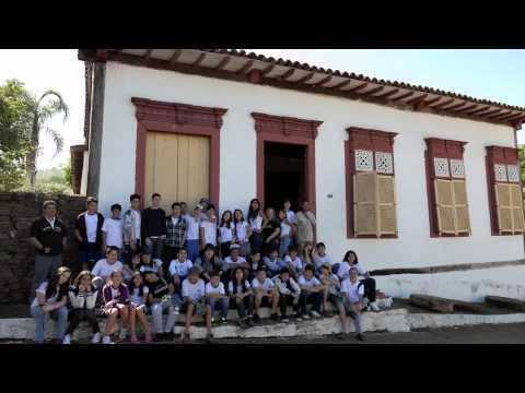
The city is one of the oldest in the state having been settled in 1741 when explorers came looking for gold in the rivers. There is still a historical part of the town with mansions, plazas, monuments and colonial churches.
The period of prosperity lasted for forty years. When the gold ran out Vila Pilar survived because of the sugar cane mills, and small plantations. Soon it was abandoned and it lost even its name, being called Itacê, district of Itapaci. In 1953 it regained its name and became a city. The population has decreased greatly since 1980—from 9,246 to 2,852—and the tendency is continuing.