
Elevation 20 m Local time Tuesday 8:28 PM | Area 89.31 km² | |
 | ||
Time zone Central Standard Time (UTC-6) Weather 26°C, Wind N at 23 km/h, 59% Humidity | ||
Santa María Xadani is a town and municipality in Oaxaca in south-western Mexico. It is part of the Juchitán District in the west of the Istmo de Tehuantepec region.
Contents
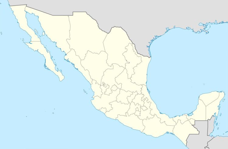
Map of Santa Mar%C3%ADa Xadani, Oaxaca, Mexico
Environment
The municipality covers an area of 89.31 km2. The town is 20 meters above sea level, and is about 3 km from the Laguna Superior. The Los Perros river passes through the municipality and is used for irrigation. The climate is tropical, with summer rainfall averaging 950 mm.
Flora include mesquite, ceiba, sapodilla, coconut, gulavere, willow, fruit trees and native grasslands. Wild fauna include armadillo, iguana, rabbit, opossum and birds such as mockingbird and rook. Some efforts have been made to involve the inhabitants in reforestation programs, but with limited success.
Economy
As of 2005, the municipality had 1,492 households with a total population of 7,283 of whom 6,114 spoke an indigenous language. Economic activities include cultivation of beans, sorghum, maize, sesame, pumpkin, peanut, melon and watermelon, animal husbandry of cattle, pigs and goats, and fishing for shrimp and other crustaceans in the lagoon.