
District Lilienfeld Time zone CET (UTC+1) Area 78.12 km² Local time Tuesday 7:32 PM | Elevation 369 m (1,211 ft) Area code 02763 Population 3,933 (1 Apr 2009) Postal code 3161 | |
 | ||
Weather 12°C, Wind E at 6 km/h, 74% Humidity | ||
Sankt Veit an der Gölsen is a town in the district of Lilienfeld in the Austrian federal state of Lower Austria.
Contents
Map of 3161 Sankt Veit an der G%C3%B6lsen, Austria
Geography
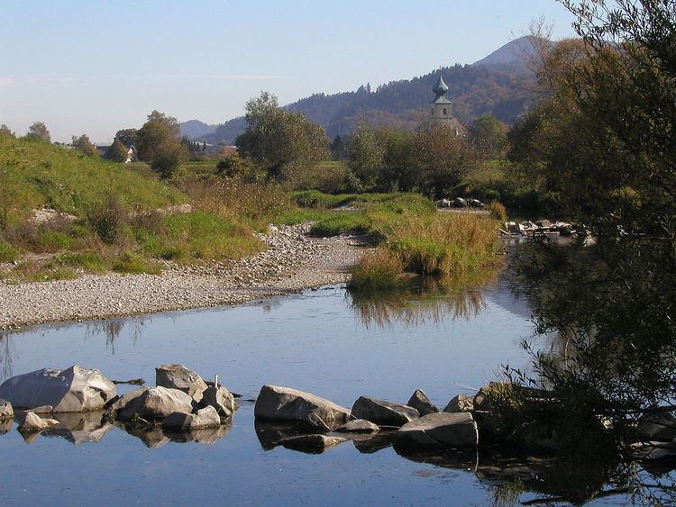
Sankt Veit an der Gölsen is located in the Mostviertel at the south-western edge of the Vienna Woods and at the beginning of the Lower Austrian Prealps. The river Gölsen flows through the municipal territory. The area of the town is 78.12 square kilometer, whereby 55.98% consists of woodland area.
Parts of the town are Außer-Wiesenbach, Inner-Wiesenbach, Kerschenbach, Kropfsdorf, Maierhöfen, Obergegend, Pfenningbach, Rainfeld, Schwarzenbach an der Gölsen, St. Veit an der Gölsen, Steinwandleiten, Traisenort, Wiesenfeld and Wobach.
History
In the antiquity the territory was part of the province Noricum. Located in the Austrian core country Lower Austria it took part in the changeful history of Austria.
Politics
The Mayor of the town is Johann Gastegger. After the election in 2010 for the local government the SPÖ has 15 mandates, the ÖVP has 7 mandates and the FPÖ has one mandate.