
District Amstetten Postal code 4303 Elevation 242 m Local time Tuesday 7:25 PM | Time zone CET (UTC+1) Area code 07435 Area 28.3 km² Population 2,476 (1 Apr 2009) | |
 | ||
Weather 13°C, Wind NW at 3 km/h, 68% Humidity | ||
Sankt Pantaleon-Erla is a town in the district of Amstetten in Lower Austria in Austria.
Contents
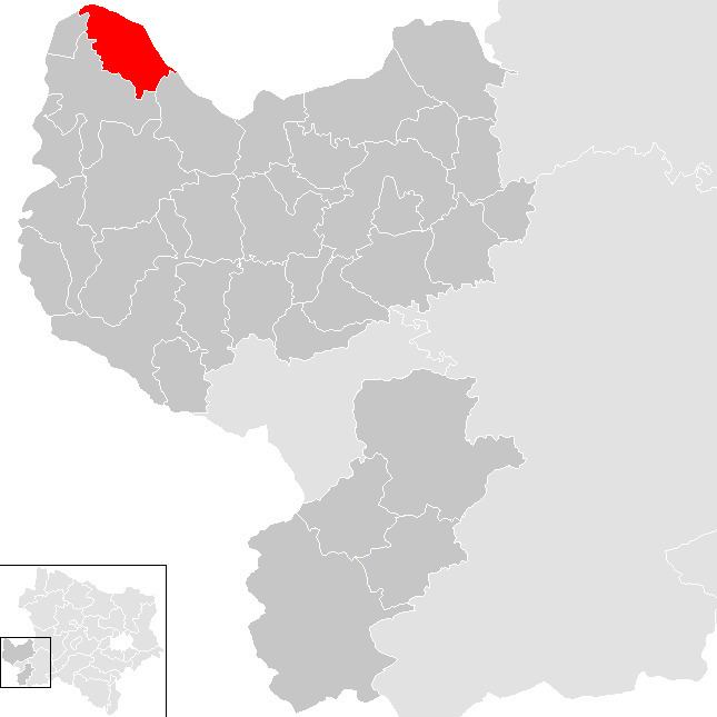
Map of Gemeinde St. Pantaleon-Erla, Austria
Geography
St. Pantaleon-Erla lies on the west border of Upper Austria in the Mostviertel east of the confluence of the Enns Canal and the Danube. About 27.37 percent of the municipality is forested.
References
Sankt Pantaleon-Erla Wikipedia(Text) CC BY-SA