
Time zone CET (UTC+1) Vehicle registration PE Area 7.09 km² Population 3,779 (1 Jan 2015) Area code 07237 | Postal codes 4222, 4223 Elevation 262 m Local time Tuesday 7:11 PM District Perg District | |
 | ||
Website www.st-georgen-gusen.at Weather 14°C, Wind W at 5 km/h, 65% Humidity | ||
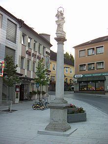
Sankt Georgen an der Gusen (also St. Georgen an der Gusen, lit.: Saint George's Town on the Gusen River) is a small market town in Upper Austria, Austria, between the municipalities of Luftenberg and Langenstein. As of 2015, the town had 3,779 inhabitants.
Contents
Map of Sankt Georgen an der Gusen, Austria
History
During World War II the town was selected to be the DEST-business administration center for exploiting the slave labour in the quarries and later the industries of the Mauthausen-Gusen concentration camp system. In early 1944 the town became the site of Gusen 2 - the most brutal sub-camp of the Mauthausen-Gusen concentration camp system. In roughly 40.000 m² of tunnels and caverns dug beneath St. Georgen for the Messerschmitt company a huge and most modern underground assembly plant for Messerschmitt Me 262 fuselages was operated until May 1945 under the code-name B8 Bergkristall - Esche II. In some trials of the Nuremberg Military Tribunal the relatively unknown term St. Georgen granite works was used to prevent the use of locations like Mauthausen or Gusen.