
Area 6.75 km² | ||
 | ||
Points of interest | ||
Kings wharf dockyard bermuda hd video
Sandys Parish (/ˈsændz/ SANDZ) is one of the nine parishes of Bermuda. It is named for English aristocrat Sir Edwin Sandys (1561–1629), and hence there is no apostrophe in the name.
Contents
- Kings wharf dockyard bermuda hd video
- Map of Sandys Parish Bermuda
- 9 beaches sandys parish bermuda
- Education
- References
Map of Sandys Parish, Bermuda
It is located in the south west of the island chain, occupying the three islands of Ireland Island, Boaz Island, and the larger Somerset Island, as well as a small part of the main island of Bermuda. These islands make up the western coast of the Great Sound, the large expanse of water which dominates the geography of western Bermuda, where it is joined to Southampton parish. Like most other parishes in Bermuda, it covers 2.3 square miles (about 6.0 km² or 1500 acres).
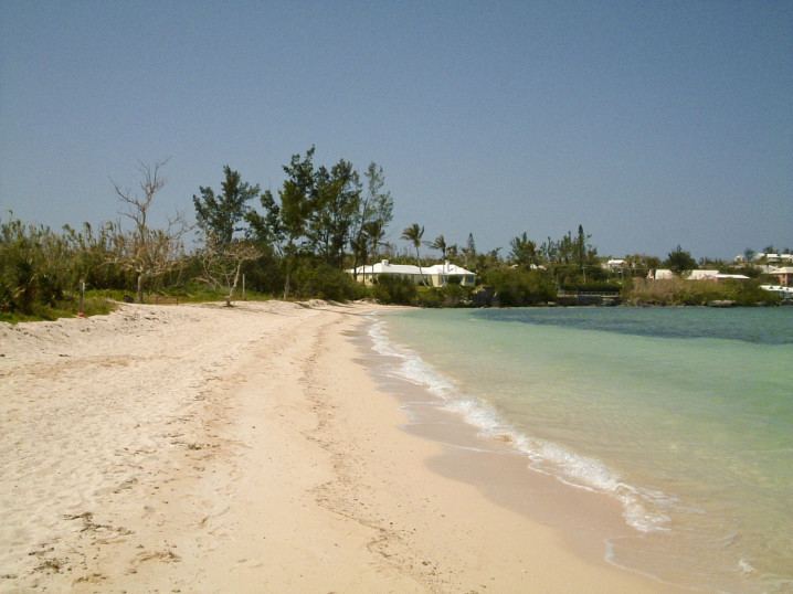
Natural features in Sandys include Ely's Harbor, the Cathedral Rocks, Daniel's Head, and Mangrove Bay.
Other notable features of Sandys include the Somerset Bridge, which links the mainland to Somerset Island, and the old Royal Naval Dockyard on Ireland Island.
9 beaches sandys parish bermuda
Education
Schools in the Parish: