
Elevation 20 m | Max length 3 km | |
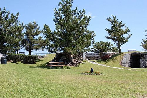 | ||
Points of interest Daniel's Head Beach Park, Scaur Hill Fort Park, Mangrove Bay, Gilbert Nature Reserve, Somerset Long Bay East Natu | ||
Somerset Island is one of the main islands of the chain that makes up Bermuda. It lies in the far west of the territory, and covers 2.84 square kilometres. It comprises about half of the parish of Sandys, and is the largest of a chain of islands which extend along the northwestern coast of the Great Sound. The village of Somerset lies in the northern part of the island, which is connected to Boaz Island in the northeast and the Bermudian mainland in the south by bridges (the latter of these being the historic Somerset Bridge).
Map of Somerset Island, Bermuda
The coast of Somerset island includes several bays, notably Mangrove Bay in the northeast and the natural harbour, Ely's Harbour, in the southwest. Other features of the island include Daniel's Head, the island's westernmost point, and the historic Fort Scaur.