
 | ||
Points of interest Gibbs Hill Lighthouse, Bermuda Golf Academy, Church Bay - Bermuda, Sharon Wilson Gallery, Chaplin Bay | ||
Horseshoe bay beach southampton parish bermuda
Southampton Parish is one of the nine parishes of Bermuda. It is named for Henry Wriothesley, 3rd Earl of Southampton (1573-1624).
Contents
- Horseshoe bay beach southampton parish bermuda
- Map of Southampton Parish Bermuda
- Education
- Sports
- References
Map of Southampton Parish, Bermuda
It is located in the southwest of the island chain, occupying all of the western part of the main island, except for the westernmost tip (which is part of Sandys Parish). It includes the chain's southernmost point, and its north coast comprises much of the coast of the Little Sound (an arm of the Great Sound, the large expanse of water which dominates the geography of western Bermuda). in the east it is joined to Warwick Parish. As with most of Bermuda's parishes, it covers just over 2.3 square miles (about 6.0 km² or 1500 acres).
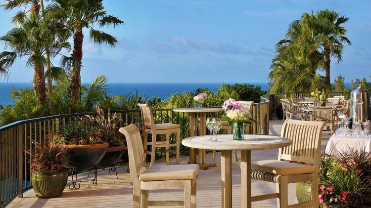
Natural features in Southampton include Whale Bay, Church Bay, Horseshoe Bay, and Riddell's Bay.
Other notable features of Southampton include the Whale Bay Fort, and Gibbs Hill Lighthouse, which stands on the chain's highest point.
Education
Schools in the parish:
Sports
Southampton Rangers football club play their home games at the Southampton Oval.