
Founded February 12, 1820 Congressional district 4th Area 1,083 km² | Population 60,098 (2013) | |
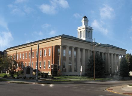 | ||
Named for a word meaning "cold water", possibly Iroquois Colleges and Universities Terra State Community College, Vanguard Career Center Points of interest Rutherford B Hayes President, Mad River & NKP Railroad, White Star Park, Journey's Family Amusem, Creek Bend Farm Destinations | ||
Sandusky County is a county in the U.S. state of Ohio located southeast of the Toledo Metropolitan Area. As of the 2010 census, the population was 60,944. Its county seat is Fremont. The county was formed on February 12, 1820 from portions of Huron County. It is named for a native word meaning "water" (Wyandot: saundustee).
Contents
- Map of Sandusky County OH USA
- Geography
- Adjacent counties
- 2000 census
- 2010 census
- Government and politics
- Major highways
- Airports
- Cities
- Places of interest
- References
Map of Sandusky County, OH, USA
The Fremont, OH Micropolitan Statistical Area includes all of Sandusky County.
Geography
According to the U.S. Census Bureau, the county has a total area of 418 square miles (1,080 km2), of which 408 square miles (1,060 km2) is land and 9.3 square miles (24 km2) (2.2%) is water.
Adjacent counties
2000 census
As of the census of 2000, there were 61,792 people, 23,717 households, and 16,957 families residing in the county. The population density was 151 people per square mile (58/km²). There were 25,253 housing units at an average density of 62 per square mile (24/km²). The racial makeup of the county was 92.20% White, 2.67% Black or African American, 0.13% Native American, 0.29% Asian, 0.01% Pacific Islander, 3.10% from other races, and 1.61% from two or more races. 6.96% of the population were Hispanic or Latino of any race.
There were 23,717 households out of which 33.30% had children under the age of 18 living with them, 56.50% were married couples living together, 10.50% had a female householder with no husband present, and 28.50% were non-families. 24.10% of all households were made up of individuals and 10.60% had someone living alone who was 65 years of age or older. The average household size was 2.56 and the average family size was 3.04.
In the county, the population was spread out with 26.20% under the age of 18, 8.10% from 18 to 24, 28.30% from 25 to 44, 23.00% from 45 to 64, and 14.50% who were 65 years of age or older. The median age was 37 years. For every 100 females there were 95.90 males. For every 100 females age 18 and over, there were 92.60 males.
The median income for a household in the county was $40,584, and the median income for a family was $47,675. Males had a median income of $35,501 versus $23,964 for females. The per capita income for the county was $19,239. About 5.70% of families and 7.50% of the population were below the poverty line, including 9.10% of those under age 18 and 7.00% of those age 65 or over.
2010 census
As of the 2010 United States Census, there were 60,944 people, 24,182 households, and 16,616 families residing in the county. The population density was 149.2 inhabitants per square mile (57.6/km2). There were 26,390 housing units at an average density of 64.6 per square mile (24.9/km2). The racial makeup of the county was 91.2% white, 2.8% black or African American, 0.3% Asian, 0.2% American Indian, 2.8% from other races, and 2.6% from two or more races. Those of Hispanic or Latino origin made up 8.9% of the population. In terms of ancestry, 41.9% were German, 12.1% were Irish, 9.5% were English, and 7.1% were American.
Of the 24,182 households, 32.0% had children under the age of 18 living with them, 51.3% were married couples living together, 12.1% had a female householder with no husband present, 31.3% were non-families, and 26.3% of all households were made up of individuals. The average household size was 2.48 and the average family size was 2.97. The median age was 40.4 years.
The median income for a household in the county was $48,056 and the median income for a family was $57,500. Males had a median income of $42,582 versus $31,257 for females. The per capita income for the county was $22,286. About 7.2% of families and 10.9% of the population were below the poverty line, including 15.8% of those under age 18 and 6.5% of those age 65 or over.
Government and politics
Sandusky County is a heavily Republican County in Northwestern Ohio. The county has a strong history of supporting Republican presidential candidates as well as local Republican candidates. However, during the 2008 U.S. presidential election, 51% of the voters from Sandusky County supported Democratic candidate Barack Obama. This was repeated in the 2012 U.S. presidential election when the plurality of 50%-48% supported the incumbent, President Obama.
Time magazine listed Sandusky as one of five critical counties in the 2012 Election.