
Named for George W. Sanborn Congressional district At-large Area 1,476 km² Population 2,324 (2013) | Founded 1883 Unemployment rate 2.9% (Apr 2015) | |
 | ||
Cities Woonsocket, Letcher, Forestburg, South Dakota, Artesian, Afton Township, Sanborn County, South Dakota Rivers James River, Redstone Creek, Jim Creek, Dry Run, West Redstone Creek, Sand Creek | ||
Sanborn County is a county located in the U.S. state of South Dakota. As of the 2010 census, the population was 2,355. Its county seat is Woonsocket.
Contents
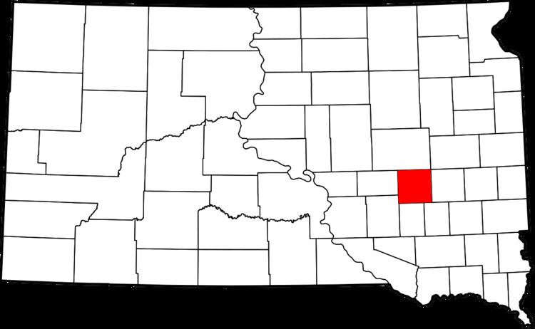
- Map of Sanborn County SD USA
- Geography
- Major highways
- Adjacent counties
- 2000 census
- 2010 census
- City
- Towns
- Census designated place
- Unincorporated community
- Townships
- References
Map of Sanborn County, SD, USA
Geography
According to the U.S. Census Bureau, the county has a total area of 570 square miles (1,500 km2), of which 569 square miles (1,470 km2) is land and 1.2 square miles (3.1 km2) (0.2%) is water.
Major highways
Adjacent counties
2000 census
As of the census of 2000, there were 2,675 people, 1,043 households, and 732 families residing in the county. The population density was 5 people per square mile (2/km²). There were 1,220 housing units at an average density of 2 per square mile (1/km²). The racial makeup of the county was 98.88% White, 0.04% Black or African American, 0.30% Native American, 0.37% Asian, 0.04% Pacific Islander, 0.11% from other races, and 0.26% from two or more races. 1.01% of the population were Hispanic or Latino of any race.
There were 1,043 households out of which 30.30% had children under the age of 18 living with them, 61.50% were married couples living together, 4.90% had a female householder with no husband present, and 29.80% were non-families. 25.40% of all households were made up of individuals and 12.70% had someone living alone who was 65 years of age or older. The average household size was 2.53 and the average family size was 3.07.
In the county, the population was spread out with 25.70% under the age of 18, 7.70% from 18 to 24, 23.70% from 25 to 44, 23.40% from 45 to 64, and 19.50% who were 65 years of age or older. The median age was 41 years. For every 100 females there were 107.20 males. For every 100 females age 18 and over, there were 104.70 males.
The median income for a household in the county was $33,375, and the median income for a family was $38,256. Males had a median income of $25,951 versus $18,482 for females. The per capita income for the county was $18,301. About 11.00% of families and 14.90% of the population were below the poverty line, including 22.10% of those under age 18 and 14.30% of those age 65 or over.
2010 census
As of the 2010 United States Census, there were 2,355 people, 975 households, and 630 families residing in the county. The population density was 4.1 inhabitants per square mile (1.6/km2). There were 1,172 housing units at an average density of 2.1 per square mile (0.81/km2). The racial makeup of the county was 98.0% white, 0.3% American Indian, 0.2% Asian, 0.6% from other races, and 1.1% from two or more races. Those of Hispanic or Latino origin made up 1.2% of the population. In terms of ancestry,
Of the 975 households, 24.2% had children under the age of 18 living with them, 55.0% were married couples living together, 6.3% had a female householder with no husband present, 35.4% were non-families, and 31.1% of all households were made up of individuals. The average household size was 2.24 and the average family size was 2.79. The median age was 47.1 years.
The median income for a household in the county was $44,732 and the median income for a family was $56,304. Males had a median income of $32,361 versus $23,724 for females. The per capita income for the county was $21,055. About 7.7% of families and 12.7% of the population were below the poverty line, including 21.4% of those under age 18 and 15.1% of those age 65 or over.
City
Towns
Census-designated place
Unincorporated community
Townships
The county is divided into sixteen townships: