
Country Chile Founded 1845 Area code(s) (+56) 72 Area 475.8 km² | Region O'Higgins Time zone CLT (UTC-4) Elevation 206 m Local time Tuesday 2:47 AM | |
 | ||
Founded by Carmen Gallegos de Robles Weather 16°C, Wind SE at 5 km/h, 64% Humidity | ||
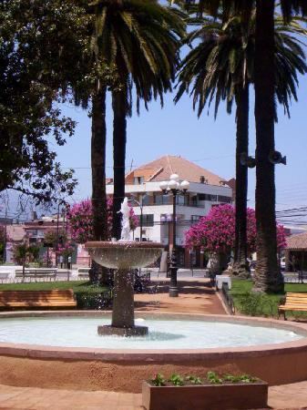
San vicente de tagua tagua
San Vicente de Tagua Tagua, or just San Vicente, is a Chilean commune and city in Cachapoal Province, O'Higgins Region.
Contents
- San vicente de tagua tagua
- Map of San Vicente de Tagua Tagua San Vicente OHiggins Region Chile
- Yacimiento de f siles ruta cient fica historia natural de taguatagua
- Demographics
- Administration
- Archaeology
- References
Map of San Vicente de Tagua Tagua, San Vicente, O'Higgins Region, Chile
Yacimiento de f siles ruta cient fica historia natural de taguatagua
Demographics
According to the 2002 census of the National Statistics Institute, San Vicente spans an area of 475.8 km2 (184 sq mi) and had 40,253 inhabitants (20,095 men and 20,158 women). Of these, 21,965 (54.6%) lived in urban areas and 18,288 (45.4%) in rural areas. The population grew by 14.5% (5,086 persons) between the 1992 and 2002 censuses. The 2012 census reported 44,046 inhabitants, an increase of 9.4% from 2002 to 2012.
Administration
As a commune, San Vicente is a third-level administrative division administered by a municipal council, headed by an alcalde who is directly elected every four years.
Within the electoral divisions of Chile, San Vicente is represented in the Chamber of Deputies by Mrs. Alejandra Sepúlveda (PRI) and Mr. Javier Macaya (UDI) as part of the 34th electoral district, (together with San Fernando, Chimbarongo, San Vicente, Peumo, Pichidegua and Las Cabras). The commune is represented in the Senate by Andrés Chadwick Piñera (UDI) and Juan Pablo Letelier Morel (PS) as part of the 9th senatorial constituency (O'Higgins Region).
Archaeology
Tagua-Tagua represents a very early Paleo-Indian archaeological site, and it is dated to 11,380 ±380 14C yr BP (before present).
This is an ancient pleistocene site where humans butchered large animals that they hunted. The site was discovered in the 1860s.
An upper, younger stratum is about 1 m below the surface. The older stratum is about 2.4 m below the surface, and contains chipped stone tools. Horse and mastodon remains are represented, as well as smaller animals.