
Country Chile Elevation 132 m (433 ft) Time zone CLT (UTC-4) Area 363.6 km² | Region Biobío Demonym(s) Sanignacino Area code(s) 56 + 42 | |
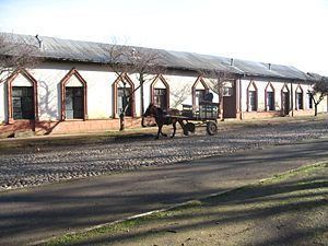 | ||
San Ignacio ([san iɣˈnasjo]) is a Chilean town and commune located in the Ñuble Province, Biobío Region. It spans an area of 363.6 km2 (140 sq mi).
Contents
Map of San Ignacio, Biob%C3%ADo, Chile
Demographics
According to data from the 2002 Census of Population and Housing, San Ignacio had 16,106 inhabitants; of these, 4,873 (30.3%) lived in urban areas and 11,233 (69.7%) in rural areas. At that time, there were 8,192 men and 7,914 women. Sanignacino is the demonym for a man, and Sanignacina is that of a woman.
Administration
As a commune, San Ignacio is a third-level administrative division of Chile administered by a municipal council, headed by an alcalde who is directly elected every four years. For the years 2008-2012, the alcalde is Nelson Aedo Figueroa (UDI), and the councilors are:
Within the electoral divisions of Chile, San Ignacio is represented in the Chamber of Deputies as a part of the 41st electoral district (together with Chillán, Coihueco, Pinto, El Carmen, Pemuco, Yungay and Chillán Viejo). The commune is represented in the Senate as part of the 13th senatorial constituency (Biobío Coast).