
Country United States County Dare FIPS code 37-58940 Elevation 90 cm Population 229 (2010) | Time zone Eastern (EST) (UTC-5) GNIS feature ID 2628655 Zip code 27972 Local time Friday 7:53 PM | |
 | ||
Weather 20°C, Wind S at 32 km/h, 79% Humidity Area 254 ha (251 ha Land / 3 ha Water) | ||
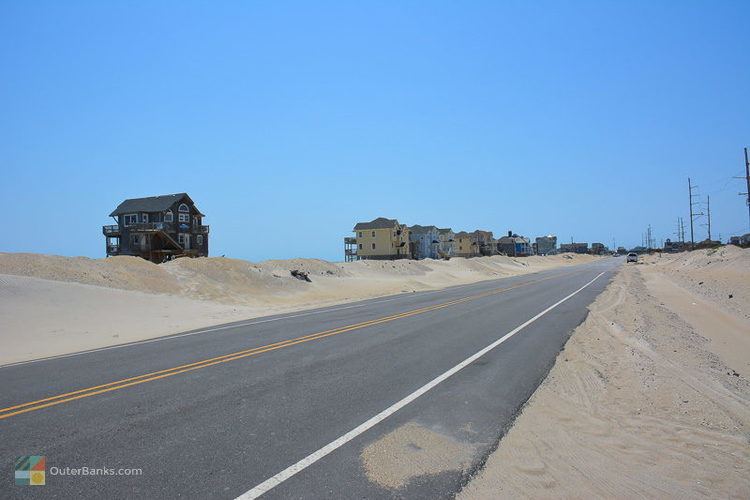
Salvo is a census-designated place located in Dare County, North Carolina, United States, on Hatteras Island, part of North Carolina's Outer Banks. As of the 2010 census, Salvo had a population of 229. Originally (with Rodanthe and Waves) part of the settlement of Chicamacomico, Salvo was originally known as "Clarks" or "Clarksville".
Map of Salvo, NC 27968, USA
The name "Salvo" allegedly stems from the American Civil War, during which a passing Union vessel spotted the settlement, which was not marked on their maps. The commanding officer ordered an attack, and a sailor marked the site on his map with the word "Salvo". The name was formally given to the town when it received a post office in 1901. The Salvo post office, ZIP code 27972, one of the smallest postal facilities in the United States, was damaged by an arsonist in 1992. A new post office was constructed later in the decade for all of Chicamacomico. Hurricane Irene in August 2011 damaged much of the Outer Banks area including Salvo.
The residents of Salvo are governed by the Dare County Board of Commissioners. Salvo is part of District 4, along with Avon, Buxton, Frisco, Hatteras, Rodanthe and Waves.
On June 24, 2014, a Virginia vacationer became buried alive in beach sand when trying to dig a tunnel, and then died.
Salvo Post Office was listed on the National Register of Historic Places in 1993.