
Zip code 27943 | County Dare Elevation 3 ft (0.9 m) Population 504 (2010) | |
 | ||
Country United States of America Weather 12°C, Wind SW at 19 km/h, 52% Humidity Points of interest Hatteras Island, Hatteras Island Ocean C, Hatteras Adventure | ||
Hatteras is a census-designated place (CDP) in Dare County, North Carolina, United States, on the Outer Banks island of Hatteras, at its extreme southwestern tip. As of the 2010 census it had a population of 504. Immediately to the west of the village of Hatteras is Hatteras Inlet which separates Hatteras Island from the neighboring Ocracoke Island. North Carolina Highway 12 passes through the community linking it to Frisco to the east and Ocracoke to the west (via a ferry across Hatteras Inlet).
Contents
Map of Hatteras, NC 27943, USA
The residents of Hatteras are governed by the Dare County Board of Commissioners. Hatteras is part of District 4, along with Avon, Buxton, Frisco, Rodanthe, Waves and Salvo.
Attractions and recreation
Hatteras is best known as a fishing and vacation destination. This community offers visitors ample opportunities for recreation, sightseeing, and remote relaxation especially on its beautiful beaches.
Watersports are plentiful on both the ocean-side and the sound-side of the village. Proximity to the convergence of the Labrador Current and the Gulf Stream result in the largest surf available on the East Coast. On the protected Pamlico Sound side of the island watersports such as windsurfing, kayaking, kiteboarding, and swimming are all readily available and accessible.
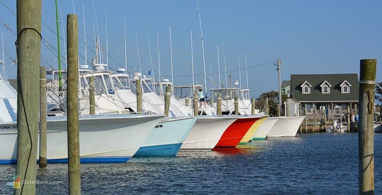
Fishing is a major source of recreation as well as revenue in Hatteras. In shore charters are available to fish in the Pamlico Sound. Deep sea charters are also available at Hatteras Harbor Marina and Oden's Dock. Deep sea trips take anglers to the warm waters of the Gulf Stream to fish for blue and white marlin, tuna, wahoo and mahi mahi. It takes approximately one and a half to two hours to reach the Gulf Stream from Hatteras Inlet.
Pamlico Sound, which separates Hatteras and Ocracoke Islands, is one of the largest estuarine systems in the world and offers an almost limitless variety of fishing opportunities.
History
Hatteras was named after the Hatteras Indians.
Hatteras Village was cut off from the rest of the island on September 18, 2003, when Hurricane Isabel washed a 3,000 feet (910 m) and 30-foot-deep (9.1 m) channel called Isabel Inlet at the north end of Hatteras village. The tear was subsequently repaired and restored by sand dredged by the Army Corps of Engineers.
The Ellsworth and Lovie Ballance House and Hatteras Weather Bureau Station are listed on the National Register of Historic Places.
Public services
Residents of Hatteras are served by the Cape Hatteras Elementary and Secondary School located on NC 12 in Buxton.